A walk across high moors to a valley reservoir and back.
We parked in a gateway at the western end of Moscar Cross Road, an old byway near the end of the Strines Road, close to the A57 Snake Pass road at Moscar.
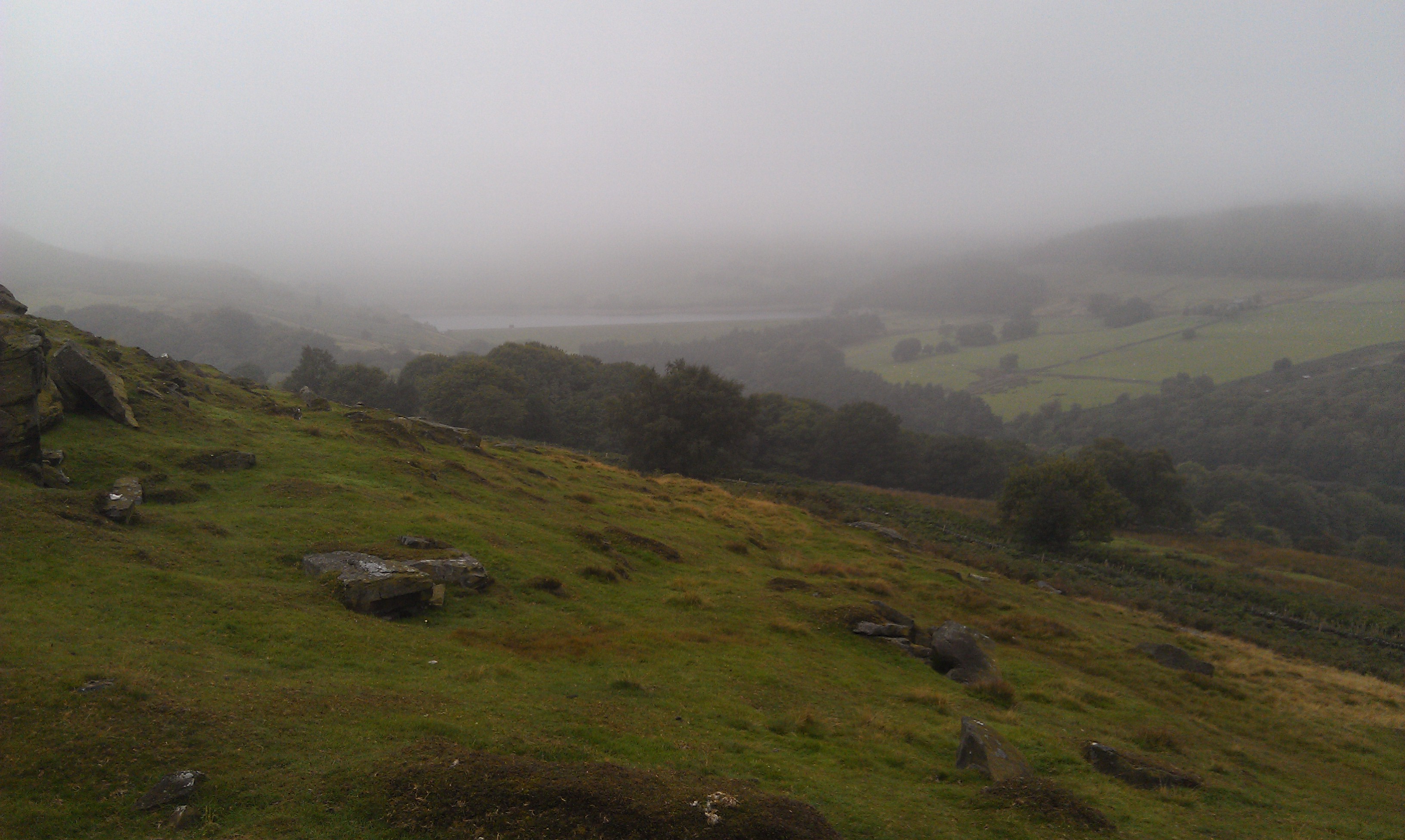
We set off heading east up the hill along the old byway towards Moscar Cross Farm, where before the actual farm itself we turned left onto the Stake Hill Road, another ancient road, and followed it as it turned northerly and headed off across the Ughill Moors. Very little sign of anyone using the old roads, apart from accessing the shooting butts to be found on the moorland section.
I'd like to describe the view up there, but the mist was down and we couldn't see more than a hundred metres. Bit uncomfortable when we could hear shotguns nearby!
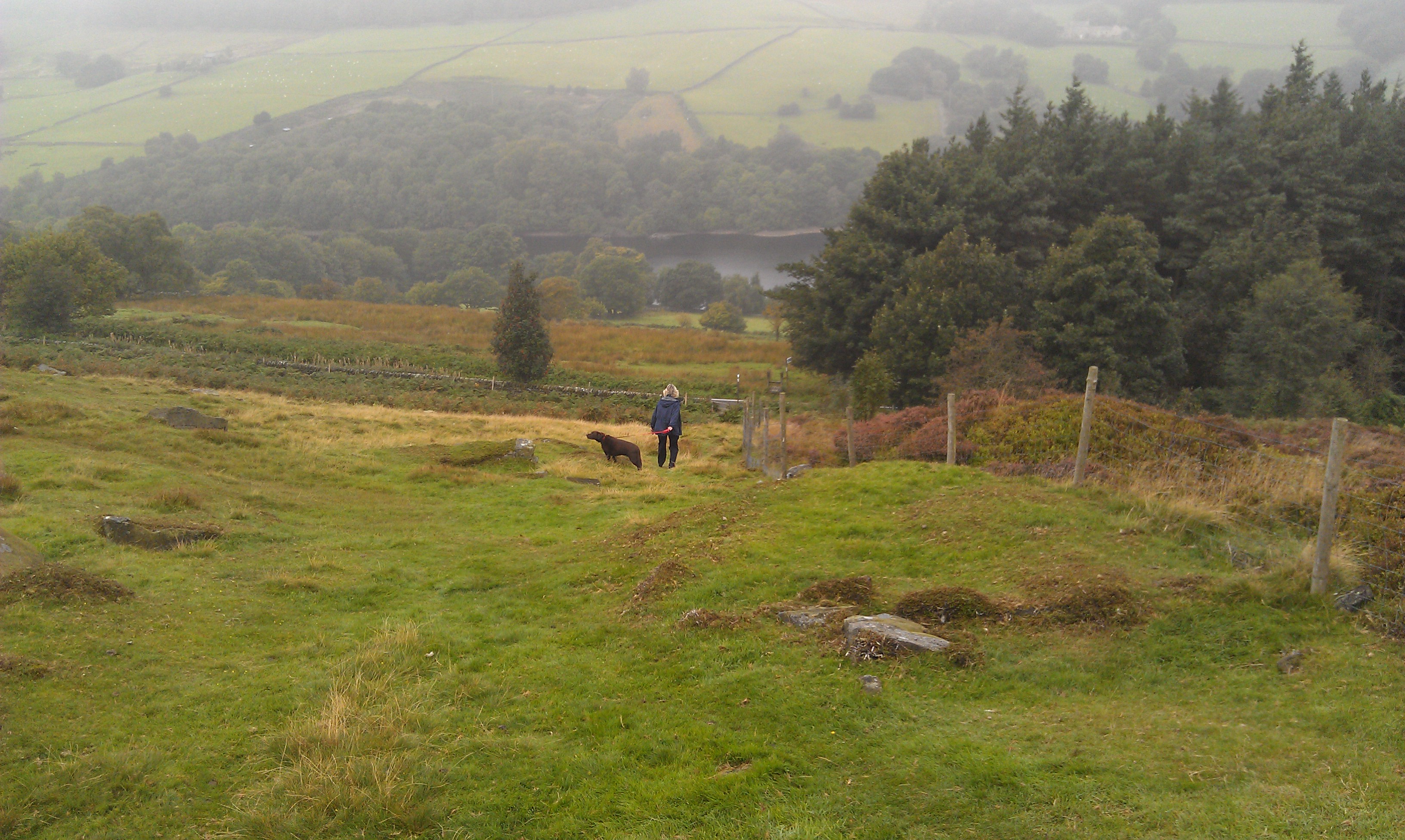
The lane took us downhill slightly, to Wet Shaw Lane, where we did a quick dog leg right before heading off cross country again along the edge of a plantation and over the hill.
We continued down hill over Hoar Stones Road and Blindside Lane before hopping over a stile into the trees along the reservoir side.
We followed the route of the Sheffield Country Walk for a few hundred metres before turning left and heading down to the water's side.
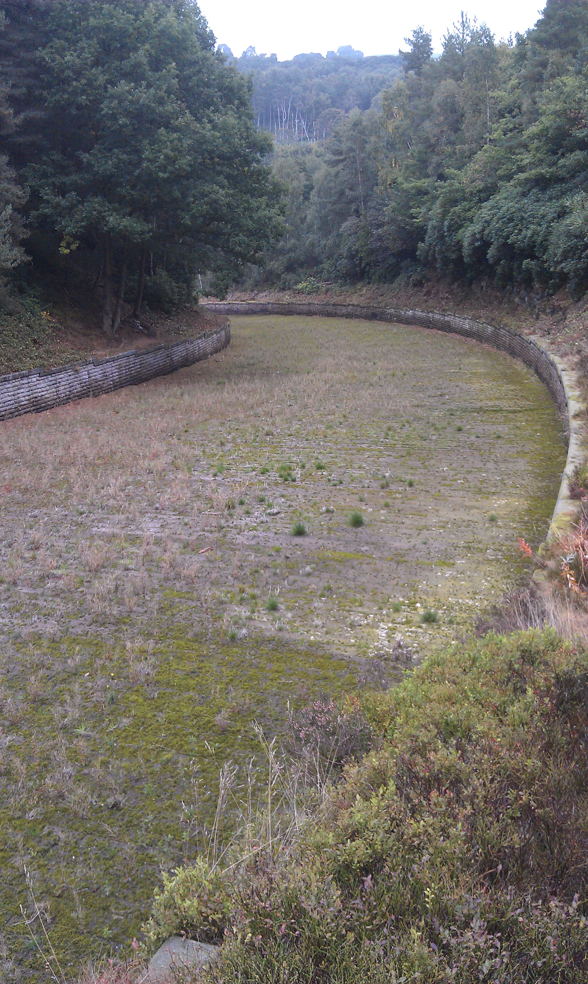
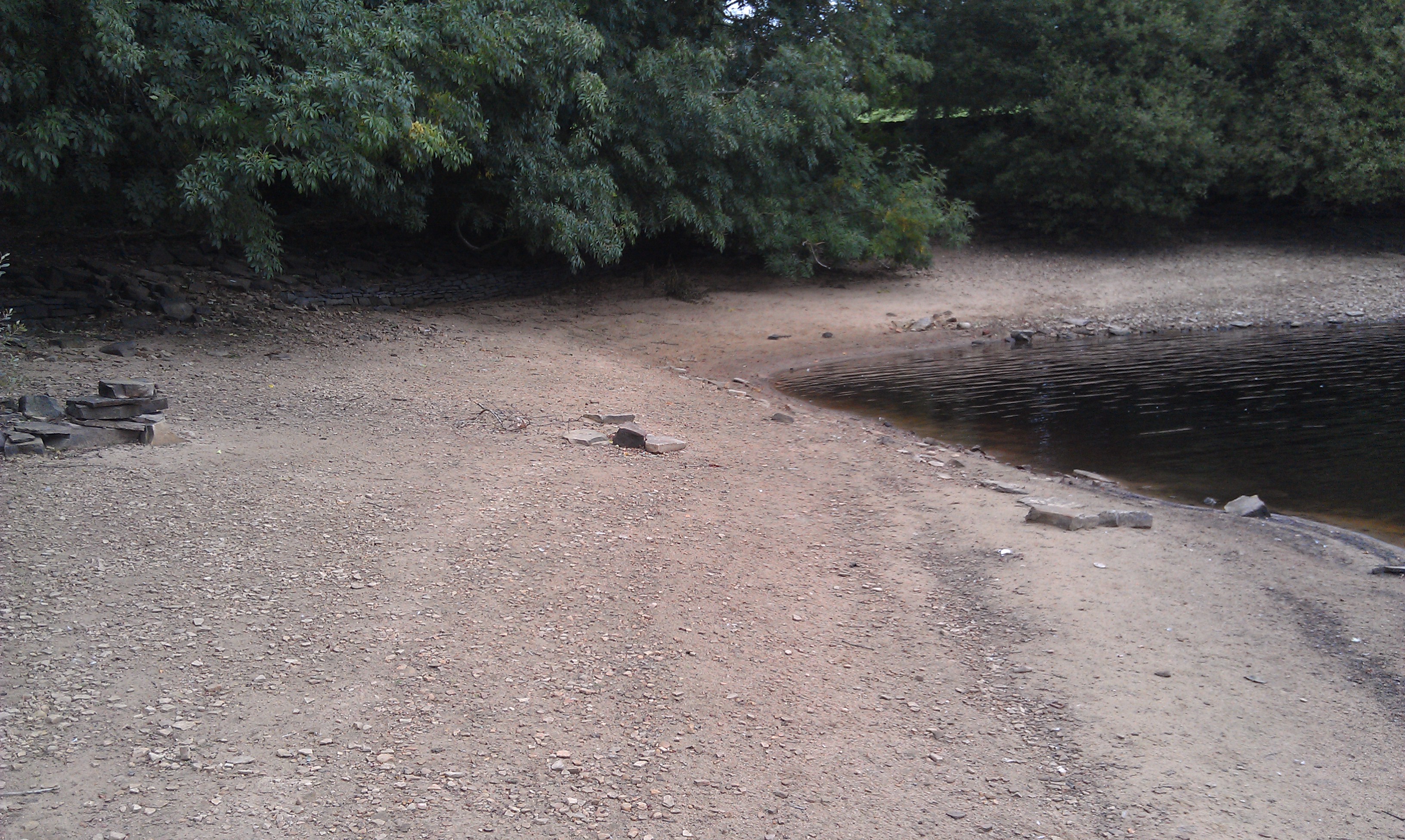
Here the path split. Left was a permissive path along the southern/eastern side of Dale Dyke Reservoir, whilst right took us on the public footpath round the dam and spillway and across the valley. Looks like it had been a long time since any water flowed over that spillway!
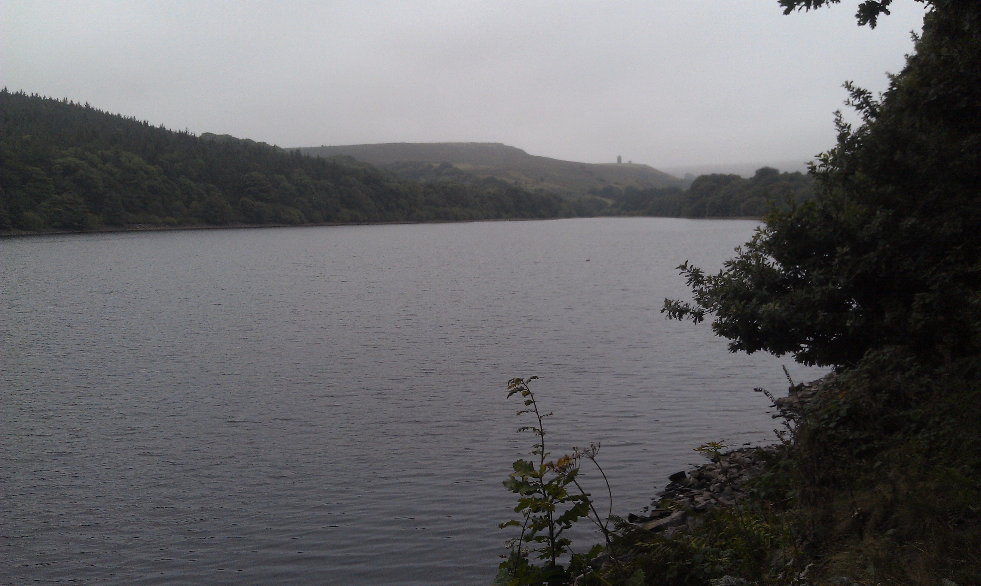
On the northern/western side of the dam wall we picked up the permissive path that took us along the reservoir side.
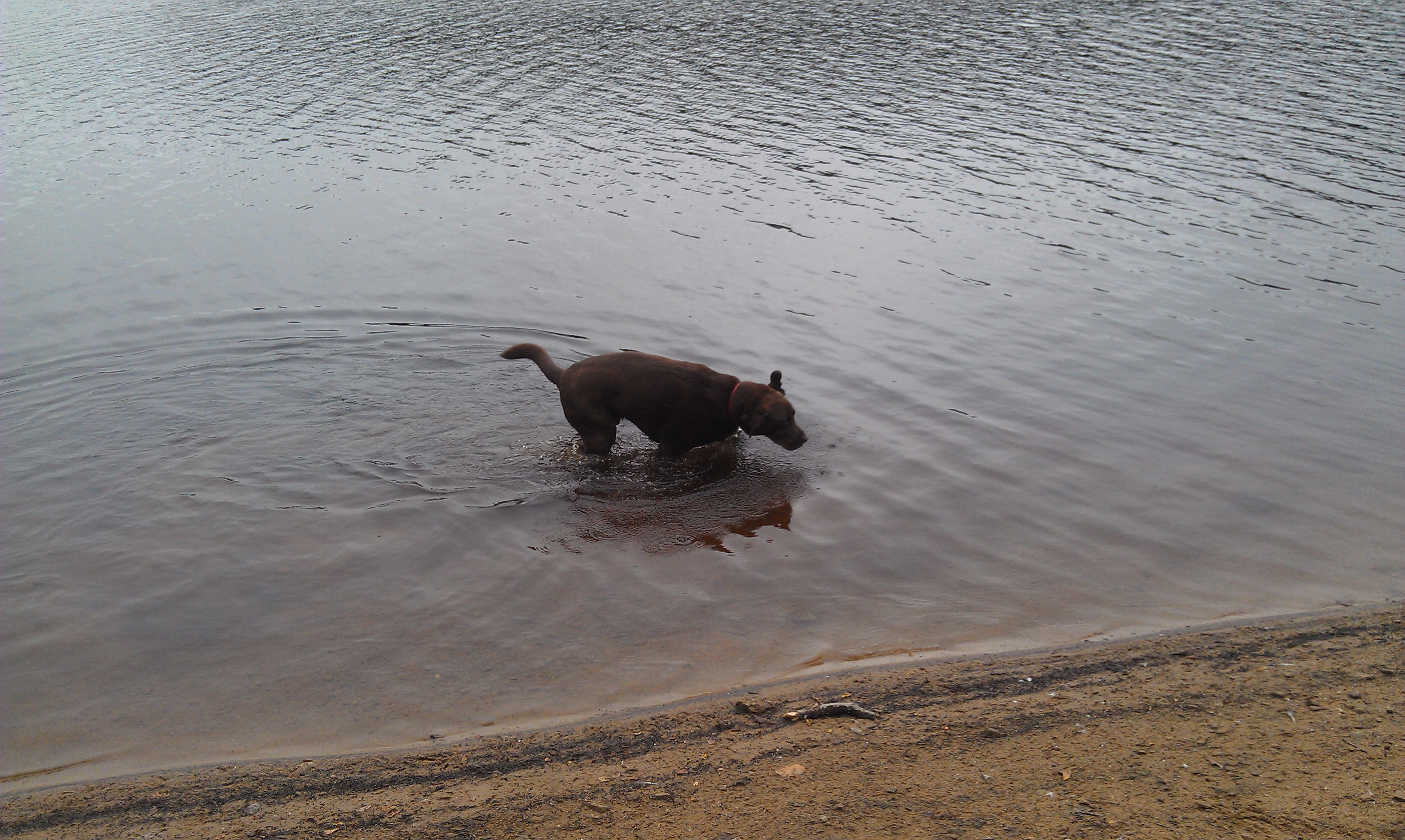
It may appear from the track on the map that we walked on water, but the tide was out and we walked along the shoreline so Harvey could have a splash and drink.
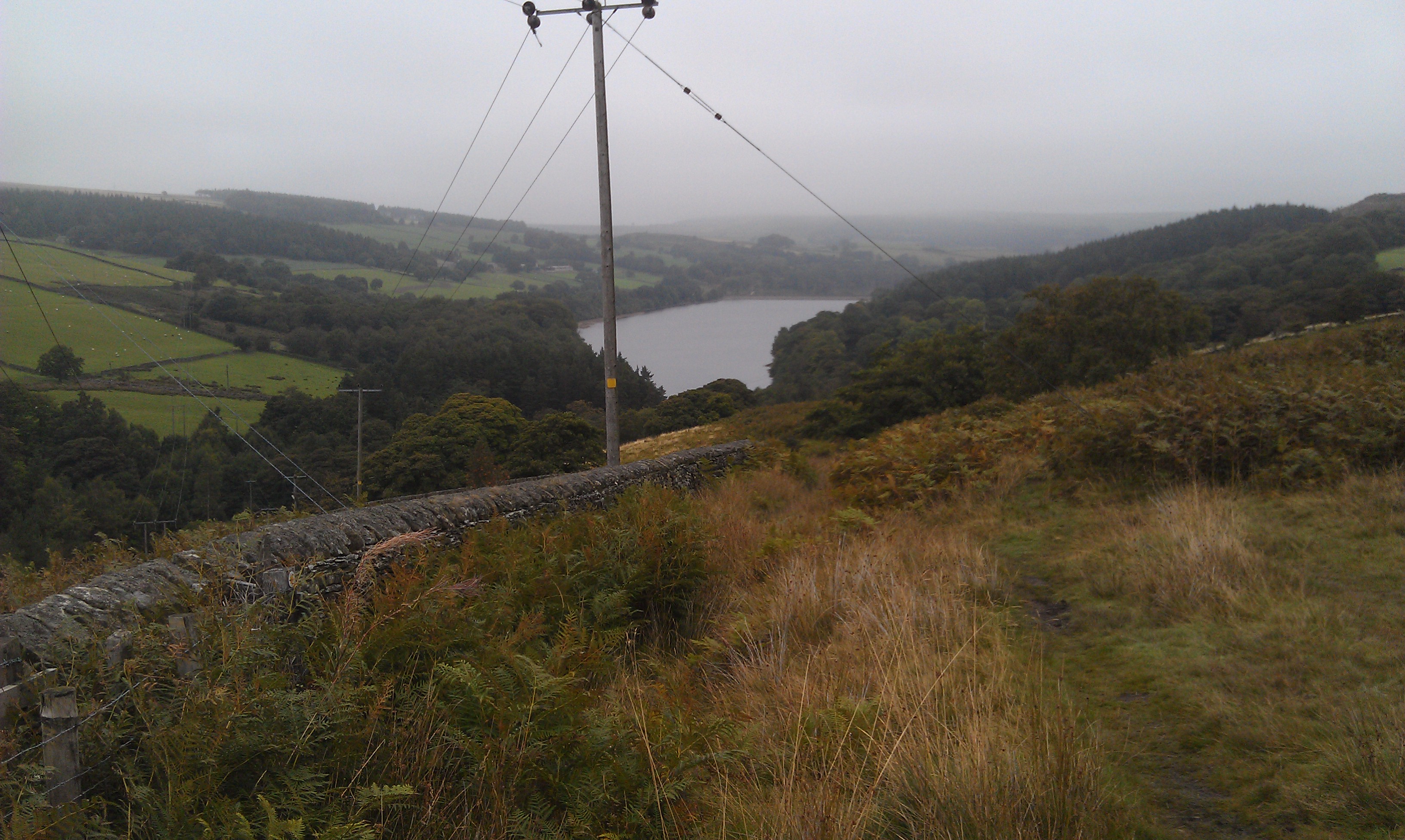
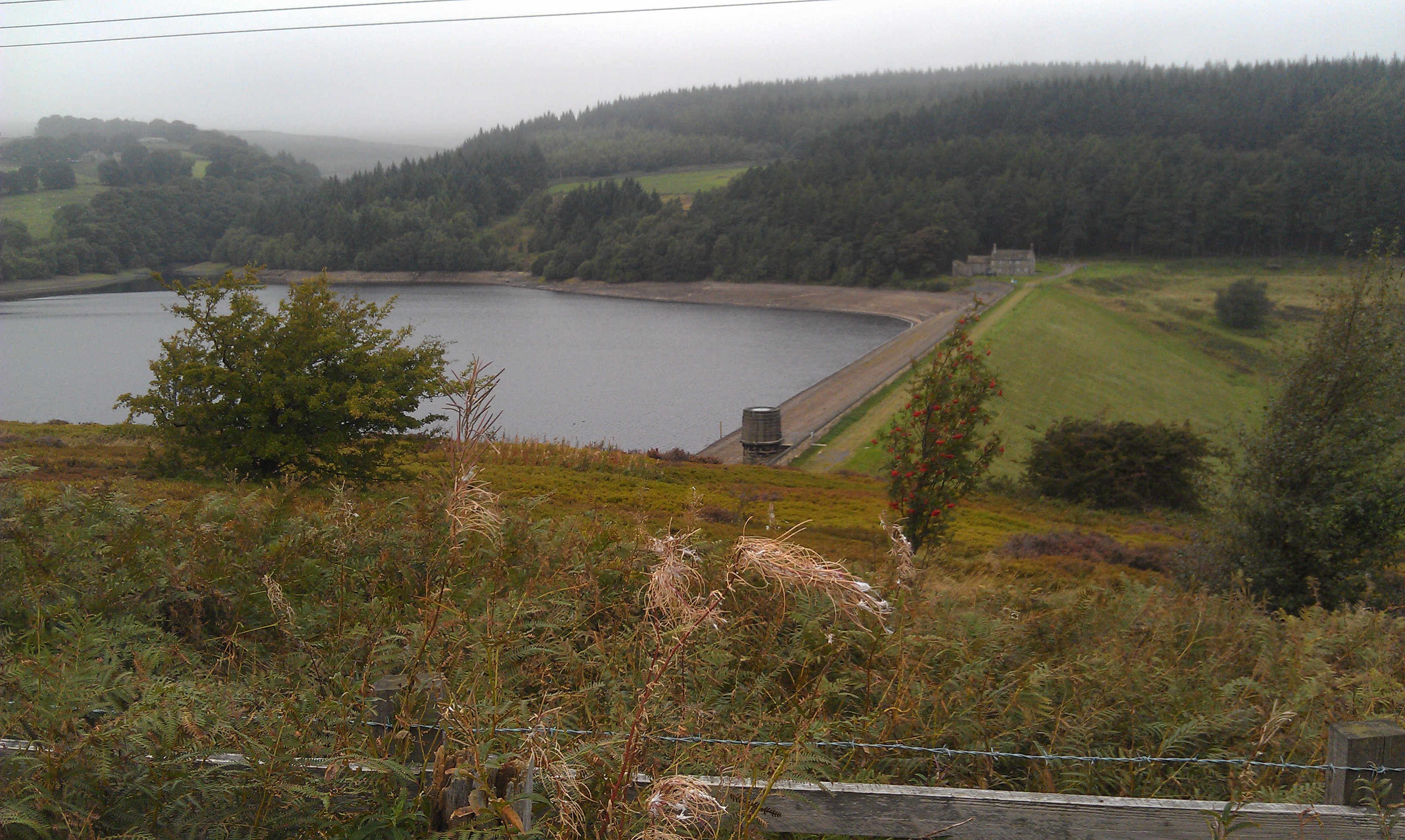
When we got as far as the base of Strines Reservoir dam we cross the spillway, a babbling brook this time, and headed up the bank to re-join the Sheffield Country Walk, and then up a very boggy Lee Bank towards Sugworth Tower and Hall.
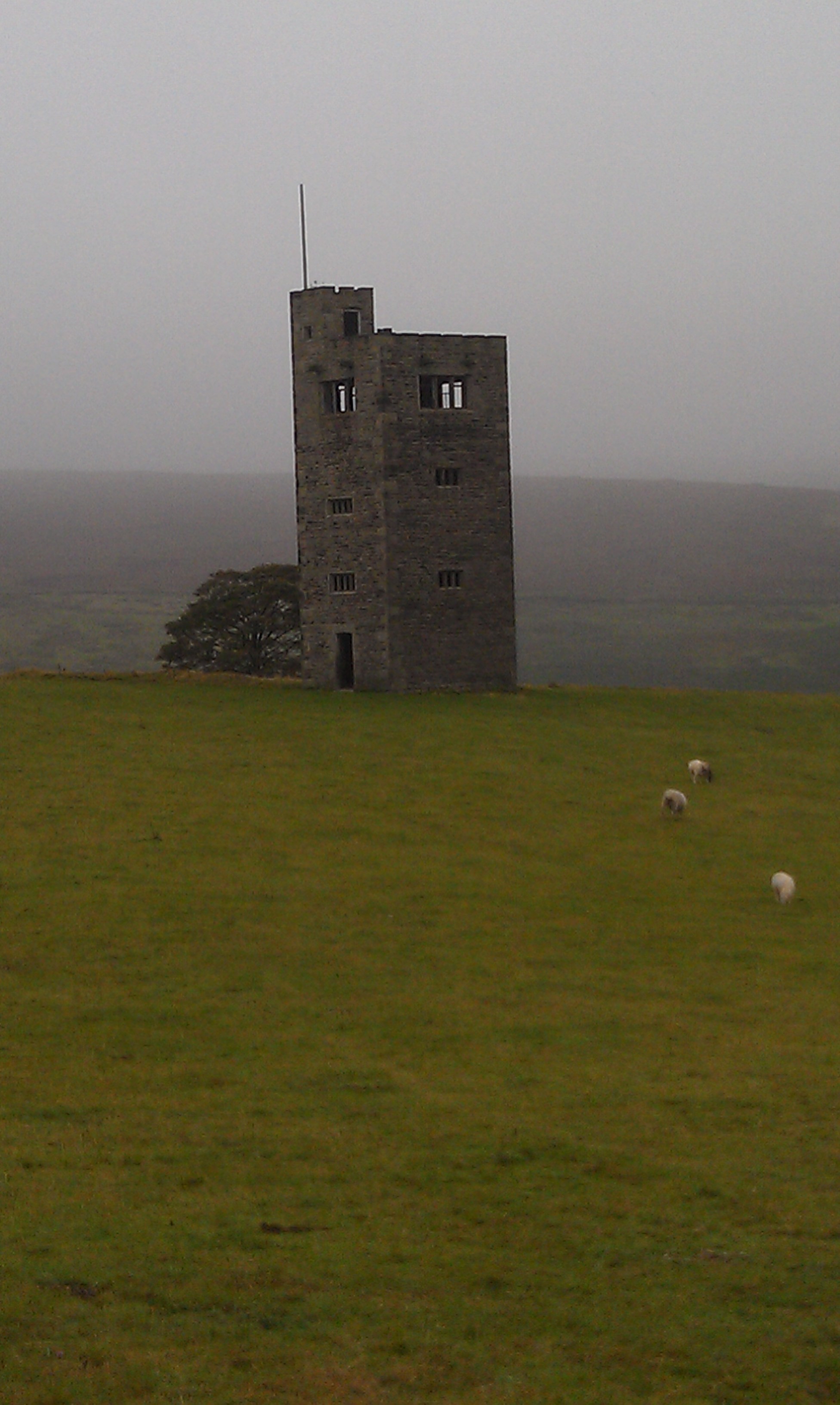
Some say the tower, a folly, was built to allow the local squire to gaze over the trees and slopes upon his daughter's grave down the valley in the village.
Some say it was built purely to keep his stonemasons occupied during a quiet period. Who knows!
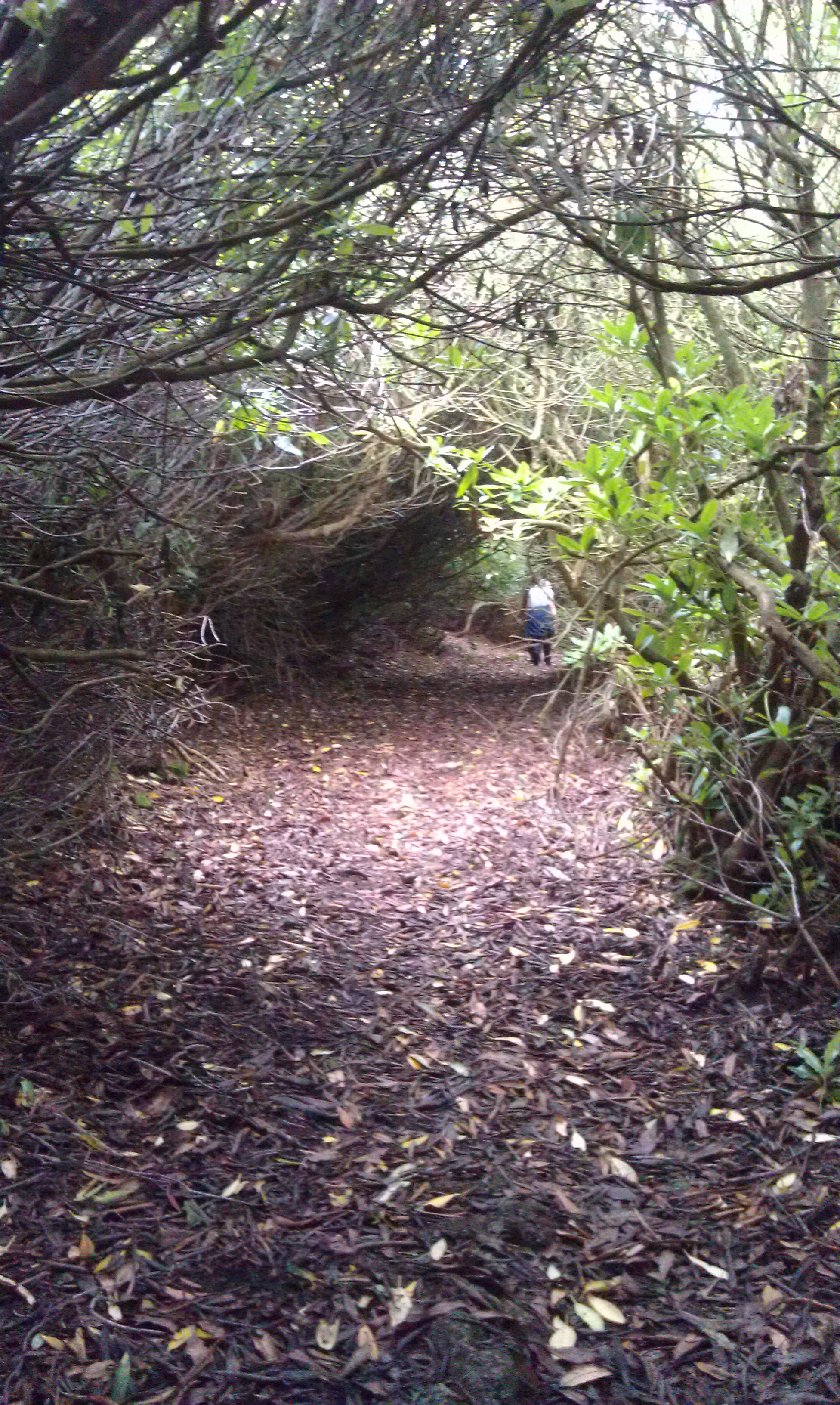
The path past Sugworth Hall is an odd one, being formed as a tunnel through rhododendrons that form the garden hedge, before coming out onto the driveway. Personally I've had asked for it to be rerouted, but it was nice to walk through.
Coming out onto Sugworth Road, we turned right and walked back to where we had parked the car.
We had considered heading across Lodge Moor on the footpath over the hill towards Moscar Cross Farm, and loop back around on the old byway, but we wanted to let the dog have some wear time on his claws walking on tarmac.
Date Walked: 23Sep13
Distance: 6.7 miles
Time: 2h48m
Ascent: 1096'
Descent: 956'
Hover over photo for description, if available, or click for full size version