The start section of the Limestone Way, and a loop around the top of Winnats Pass
The rain had stopped and the sun was shining and we had the morning free, so we grabbed the dog and drove out to Castleton in the upper Hope Valley, and parked in the main village P&D car park.
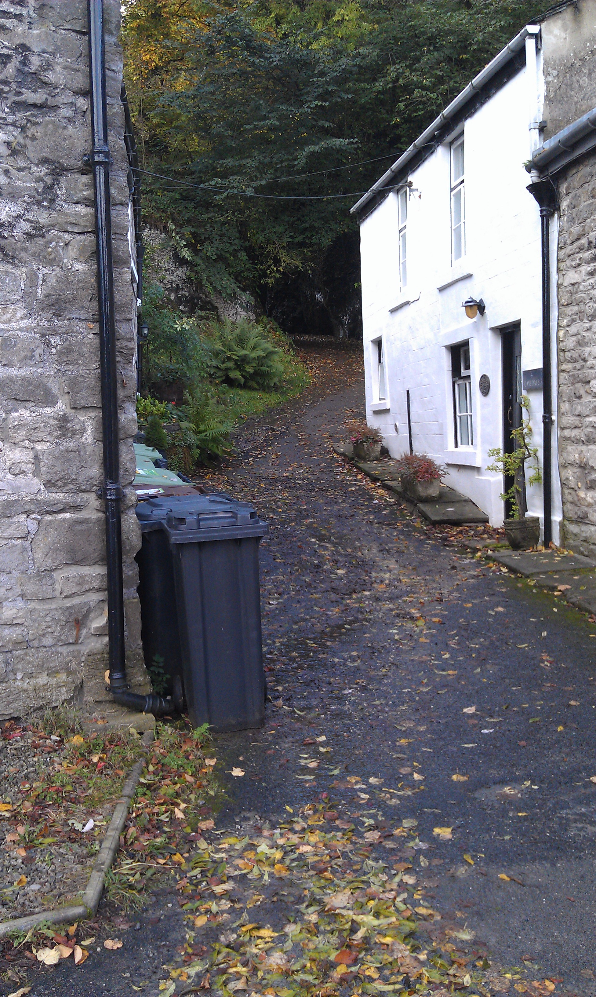
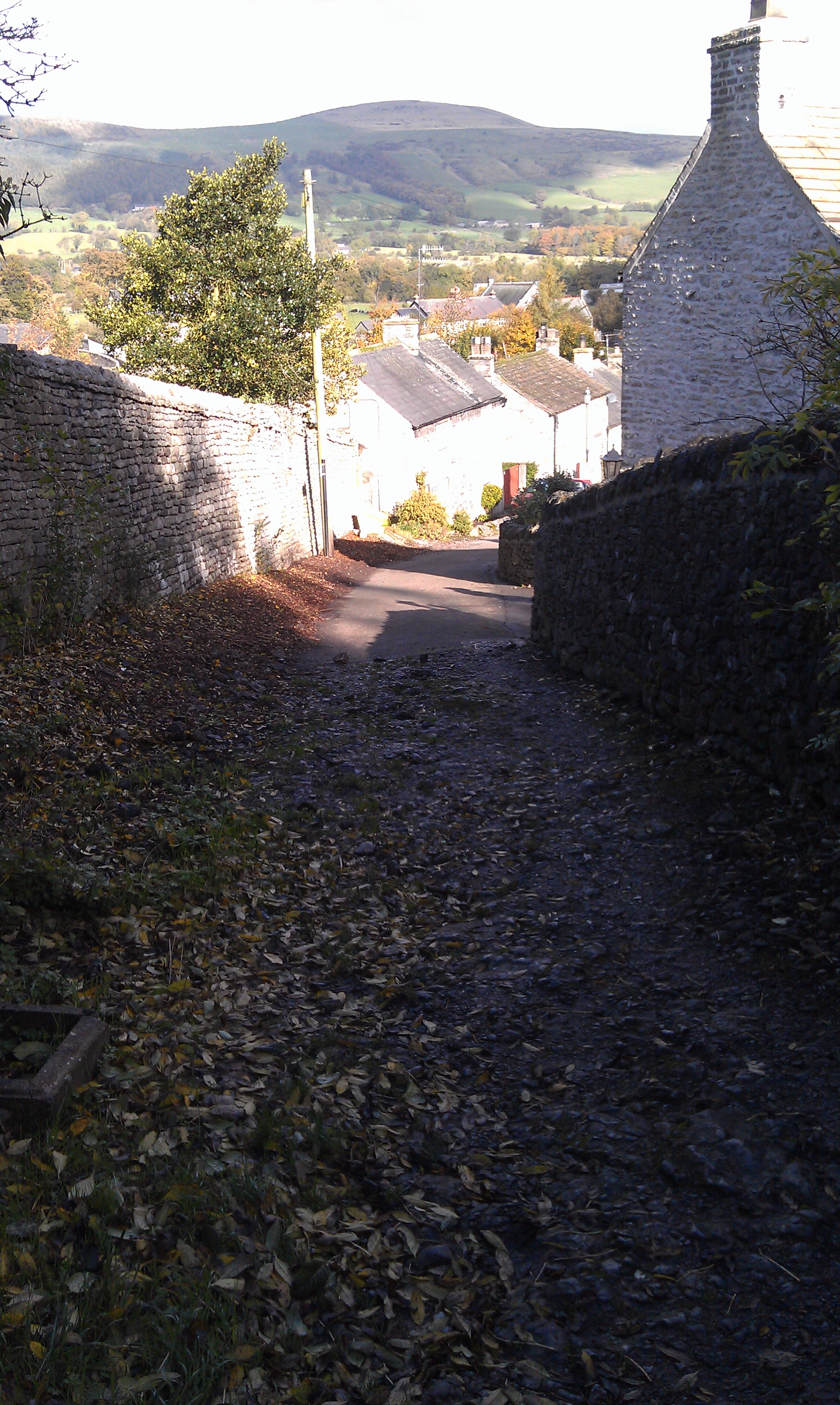
We walked through the Market Place, and past the path to Peveril Castle to find the entrance to Cave Dale in a small gap between the houses on the road out towards Pin Dale.
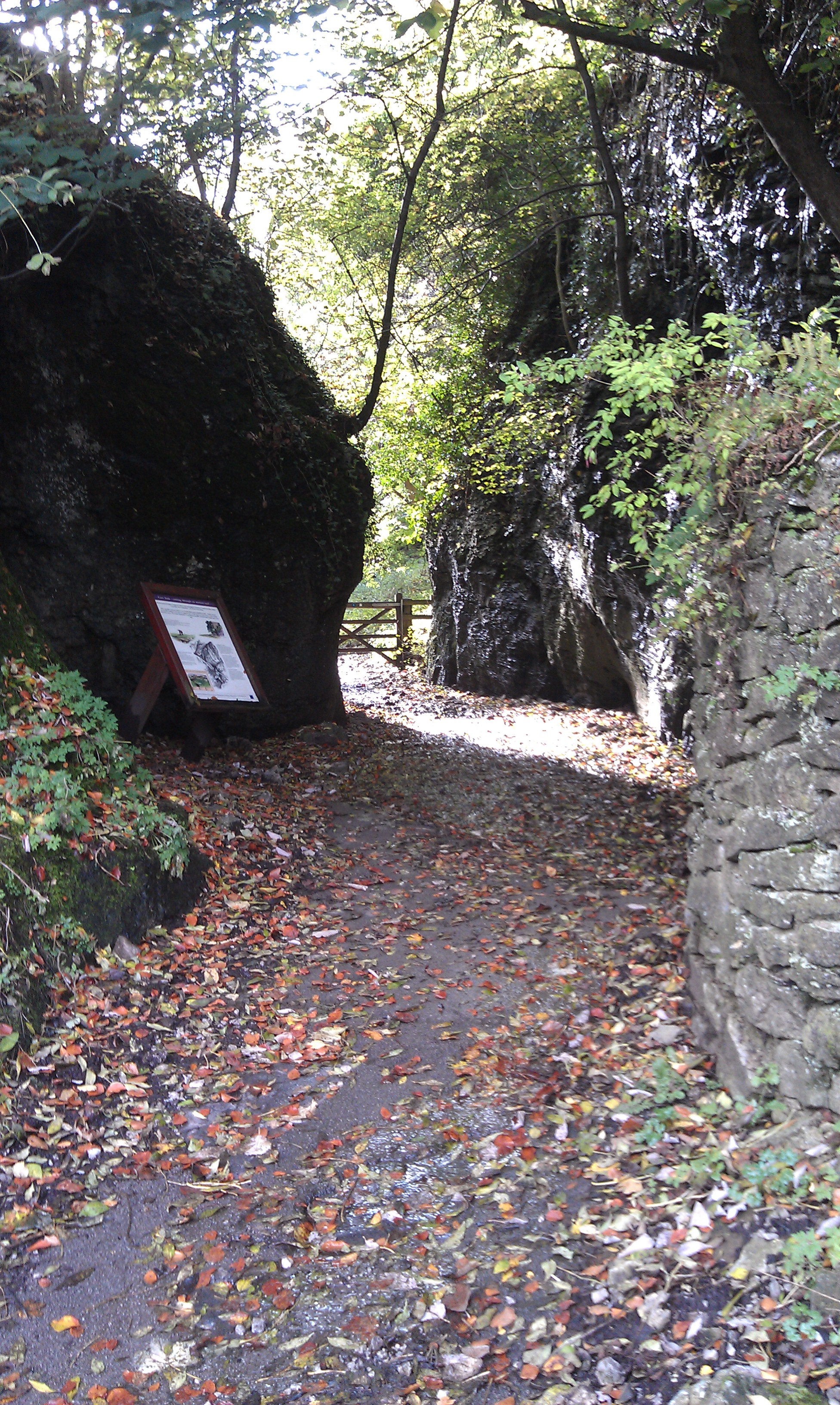
Cave Dale is the start of the Limestone Way, a long distance bridleway, that runs from Castleton down through the White Peak to Rocester in Staffs. It used to go to Matlock, but has been diverted and extended to join up with the Staffordshire Way.
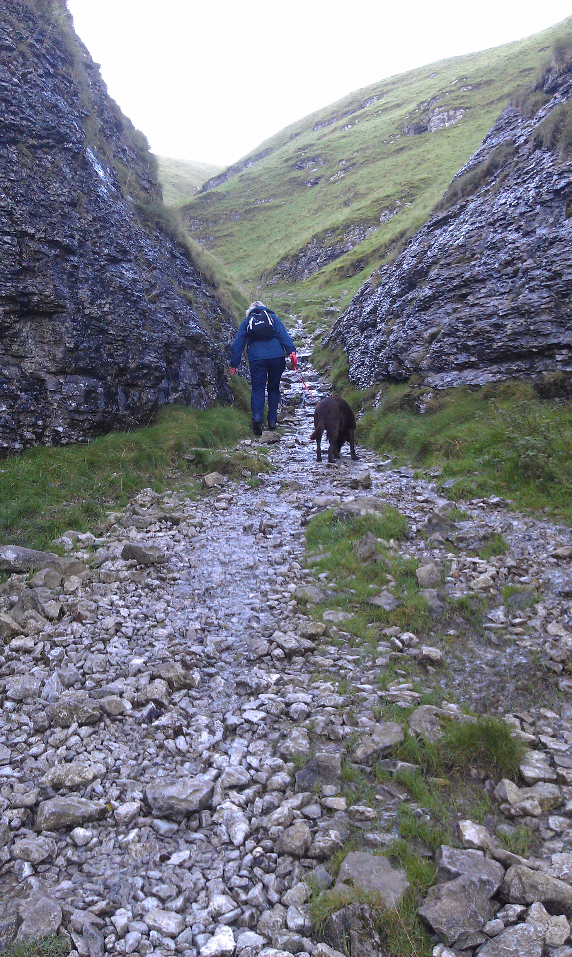
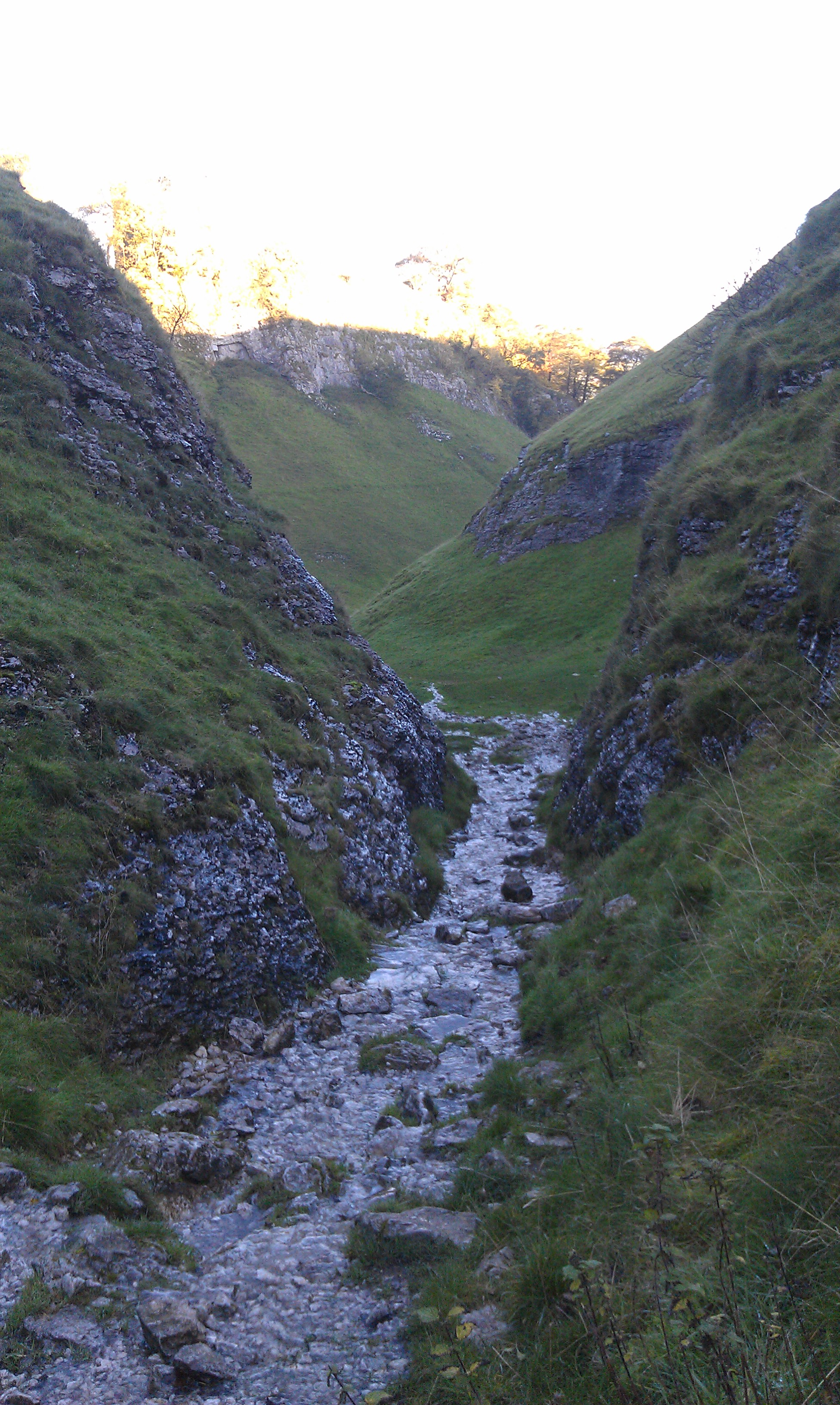
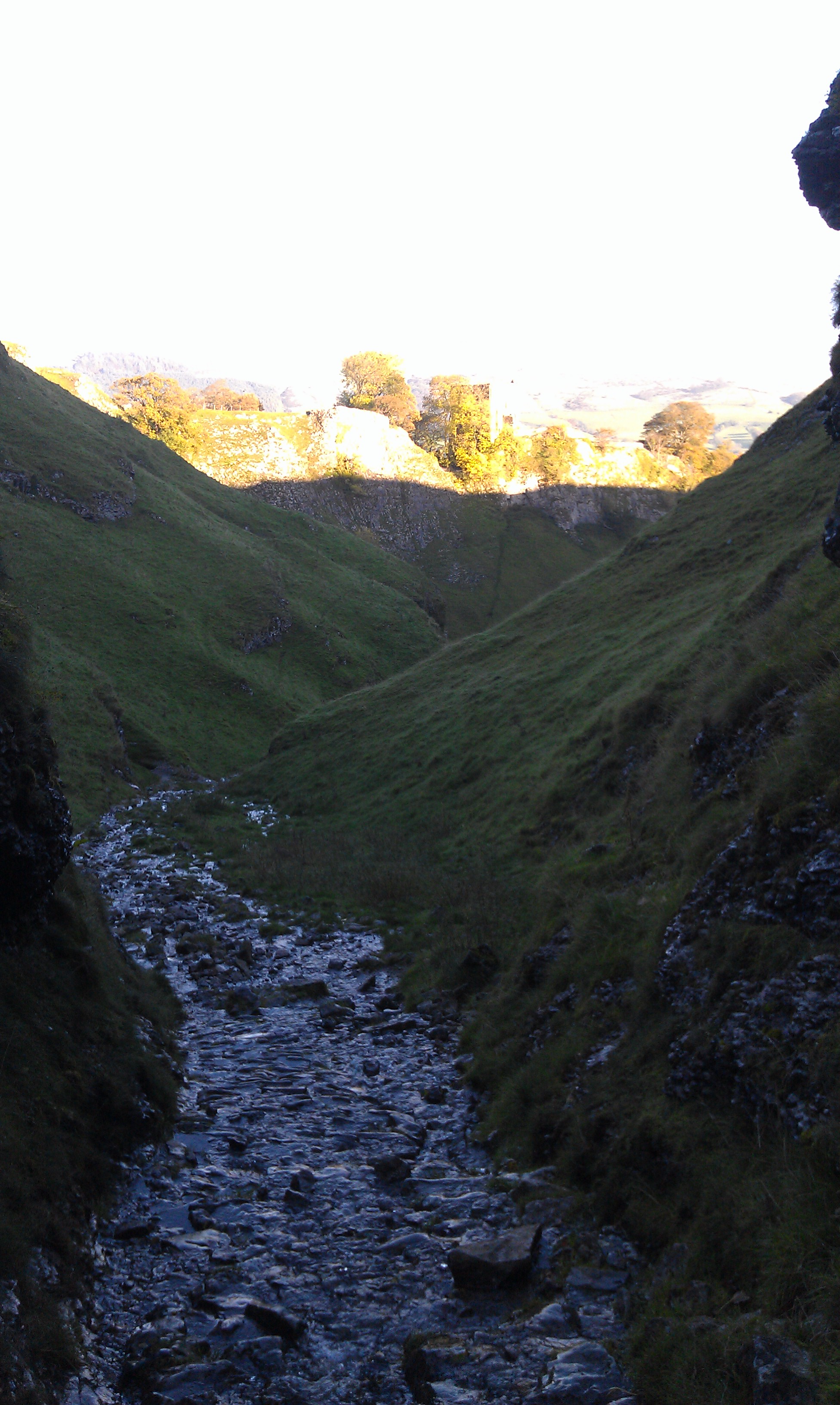
This dale is a narrow steep sided one that leads onto the high ground to the south of the Hope Valley. Scientists can't make their mind up if it was formed by glacial run-off eroding through soft rock, or if it was a large cavern that caved in and lost it's roof like Winnats Pass.
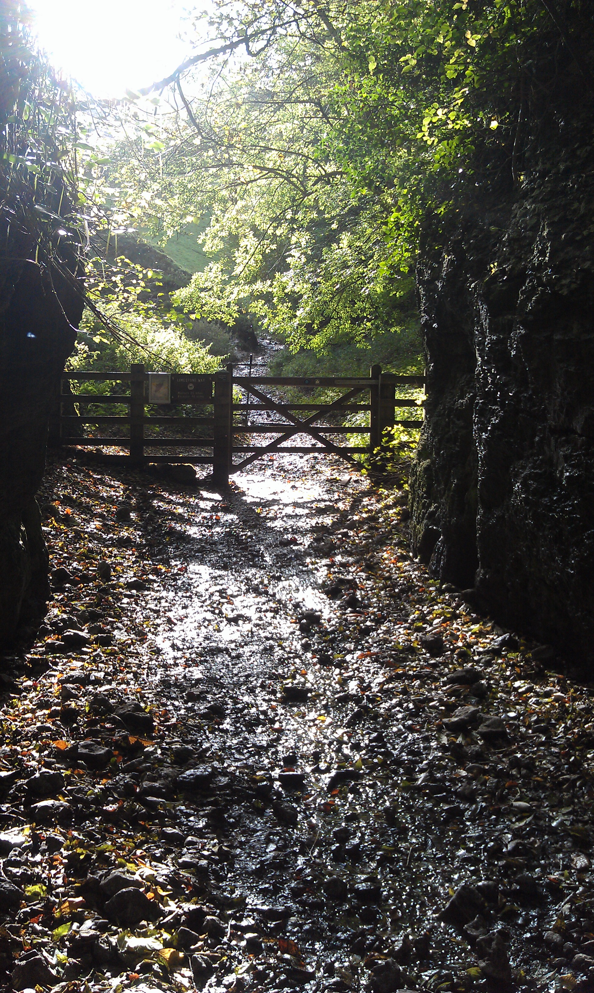
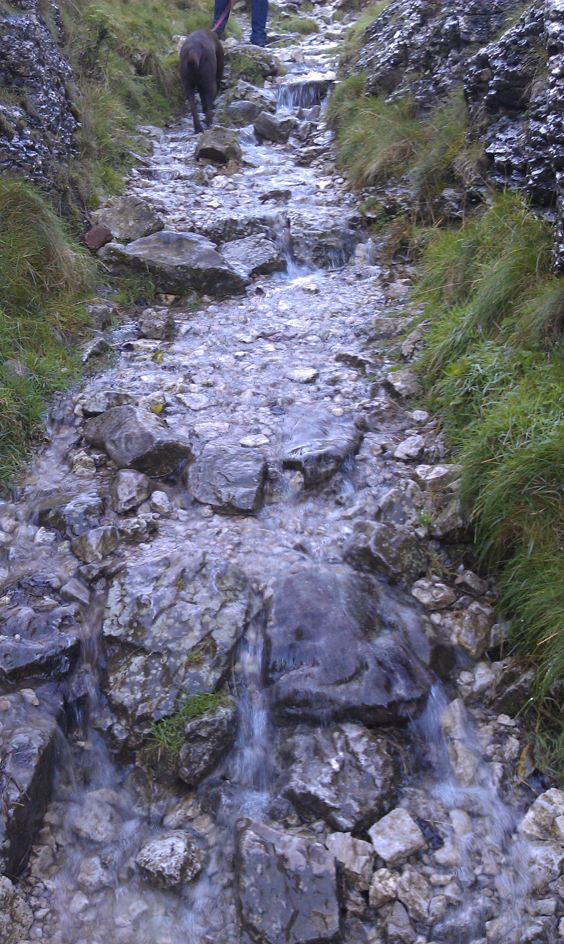
Either way, there would have been water involved, as there still is, and I was glad of decent boots as we paddled uphill through the stream that was cascading down along the path.
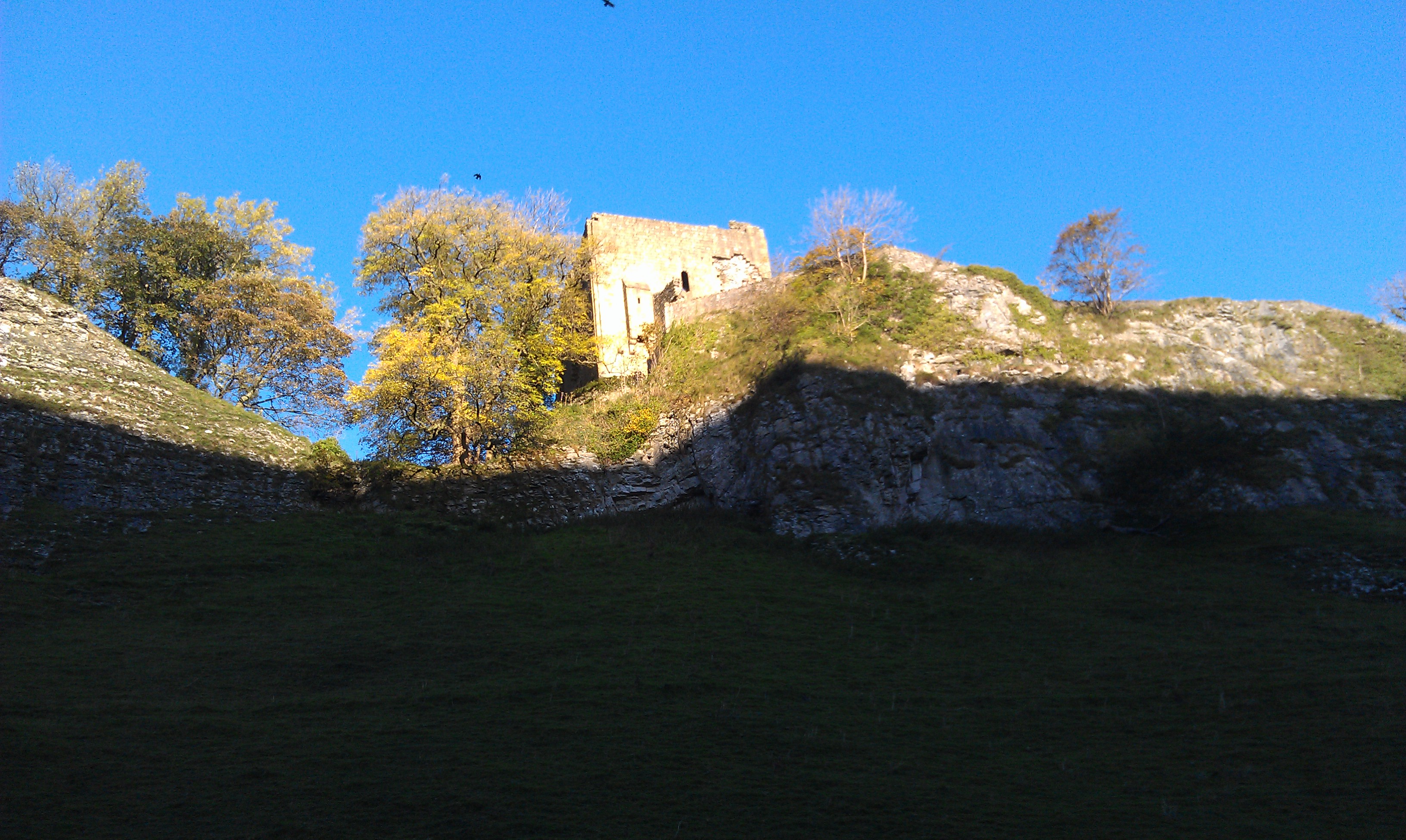
After passing round the back of Peveril Castle, not it's prettiest aspect, we eventually came out into sun light on the higher ground.
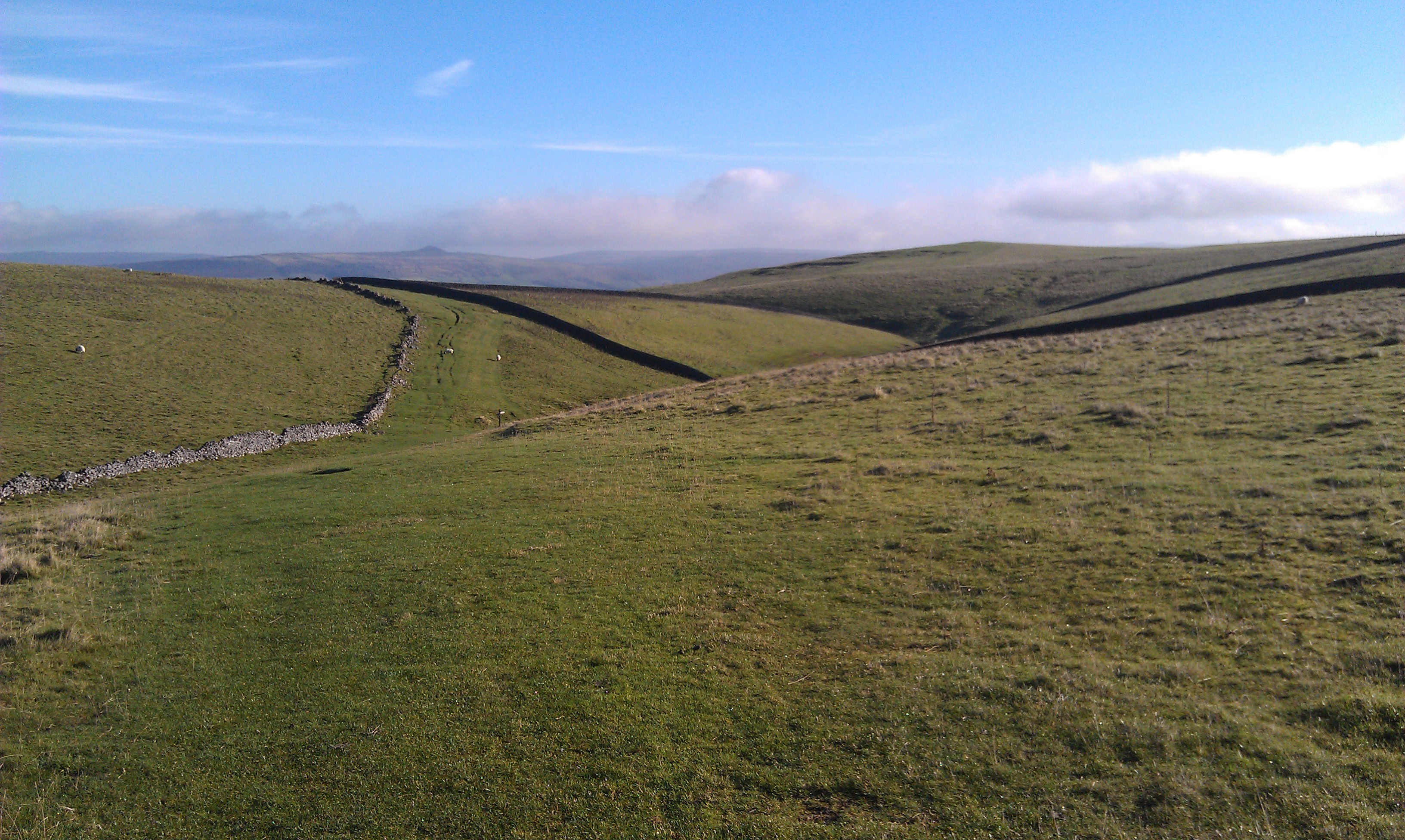
We followed the Limestone Way across the plateau until we came onto an old byway, that runs through Dirtlow Rake to our left (East), and off to Winnats Pass on the right (West).
We headed right for a short way, but rather than following the byway as it turned North-East we continued heading West instead on the bridleway continuing to head uphill seeing evidence of old mines, presumably for lead, all around us. These old mines were fromhundreds of years ago, and all grown-over now.
Before we got as far as Slitherstone Mine (disused) we came to a meeting of a number of paths and hopped over the stile to head north towards the top of Winnats Pass, reaching the road just as the byway we were on before joined us.
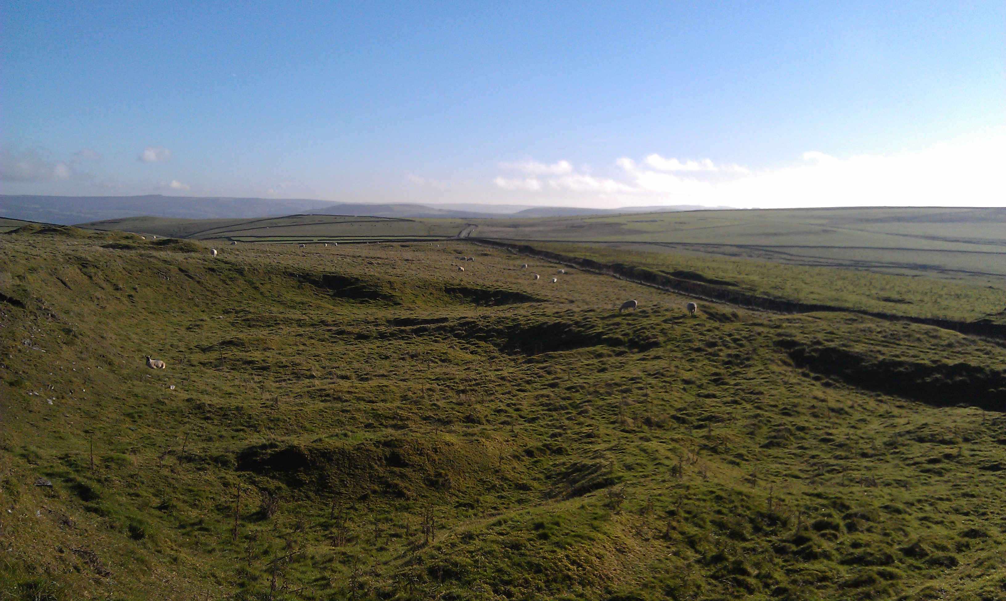
There were great views from this section of footpath both back easterly along the ridge we'd traversed, not obviously apparent as such until viewed from a height, and also to the north towards Mam Tor, Rushup Edge, and the length of the Great Ridge all the way along to Lose Hill.
Instead of just walking down Winnats Pass, we crossed the road and walked past Windy Knoll, a small hillock with a fenced off cave entrance tucked under it.
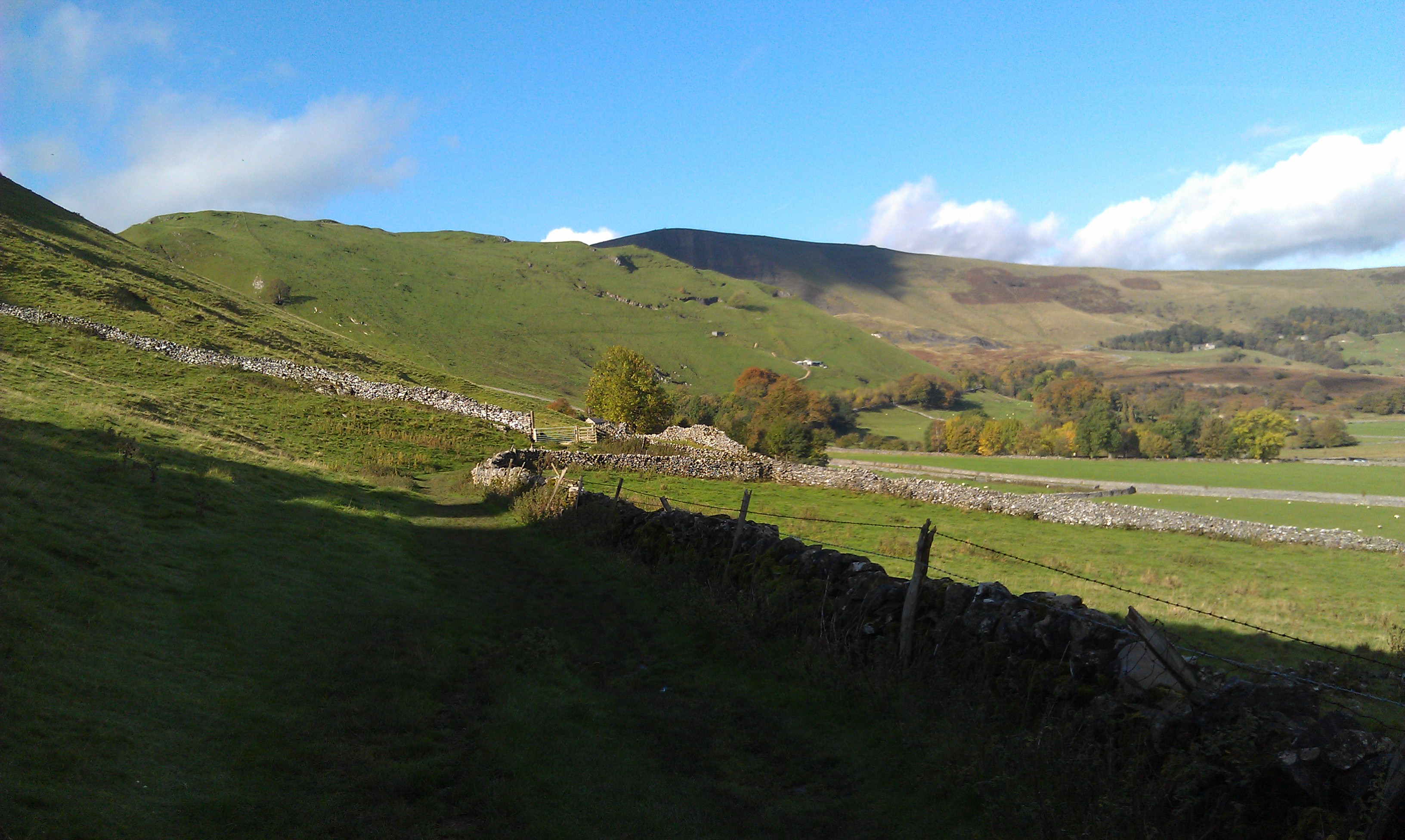
We then walked across the fields passing behind the Blue John Cavern before following a narrow high path around the edge of Treak Cliff and taking in the fantastic vista of the Hope Valley opening out in front of us.
We tracked across the hill side to the Treak Cliff Cavern, and dropped onto the road rather than continue on the, by now, muddy footpath. Very little traffic on this road, of course, due to the fact that it collapsed during the most recent (1974?) land slip on Mam Tor, just a short way after the Cavern.
We returned to our planned route, however, taking a short footpath towards Speedwell Cavern, and then headed across Long Cliff back towards Castleton.
Date Walked: 24Oct13
Distance: 5.6 miles
Time: 2h47m
Ascent: 1062'
Descent: 1046'
Hover over photo for description, if available, or click for full size version