Exploring the old and new start routes for the Pennine Way
Some years ago the first leg of the Pennine Way was changed.
It used to go straight out the top of Edale village and onto the Kinder Scout massif via the Grindbrook Clough valley, but was changed to go to the head of Edale valley, and use the Jacob's Ladder path instead.
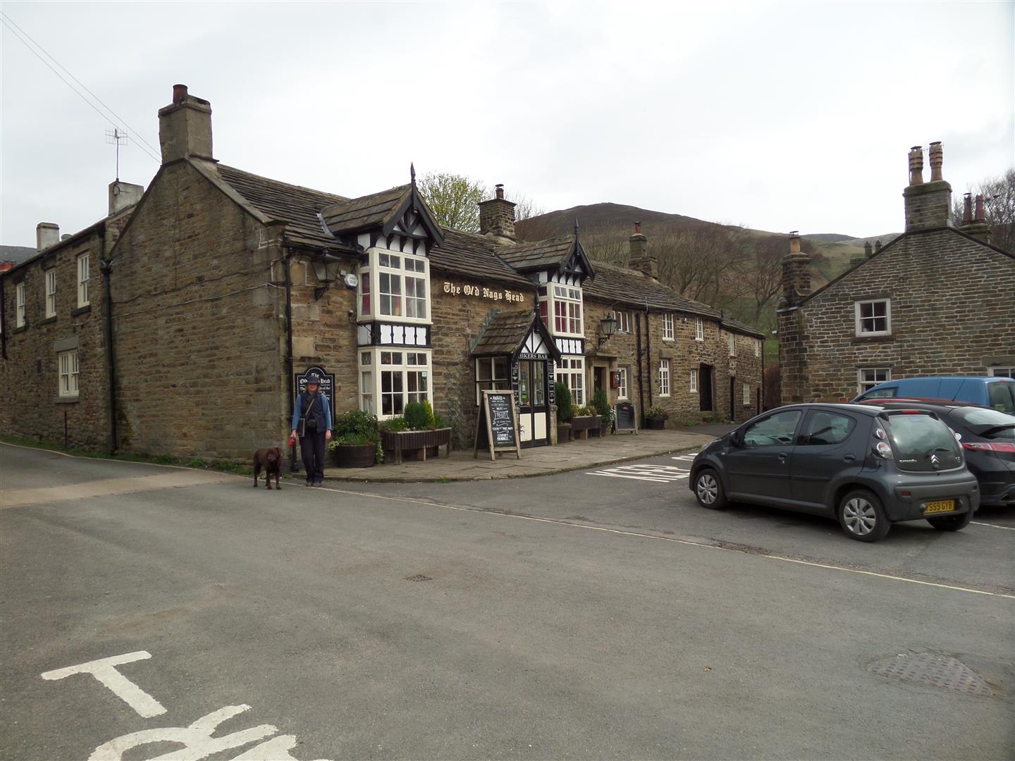
We parked in the public P&D car park at the bottom of Edale village by the train station, and walked up into the village to the Old Nag's Head, the original official start point for the Pennine Way.
The two routes meet here - the old and the new.
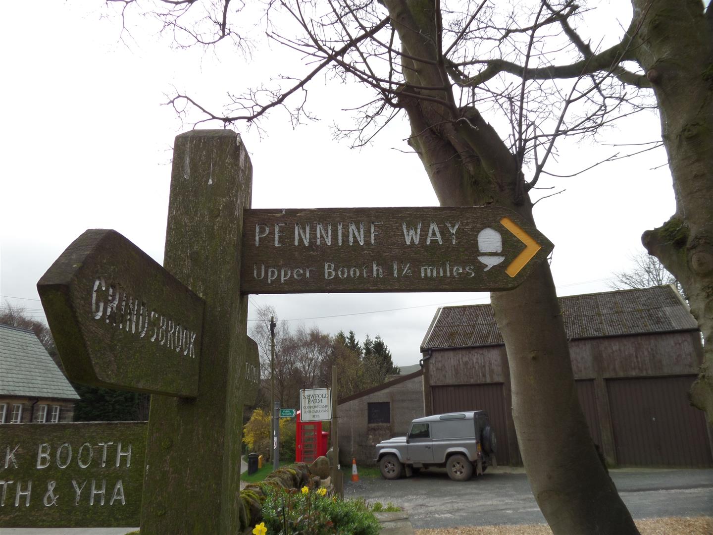
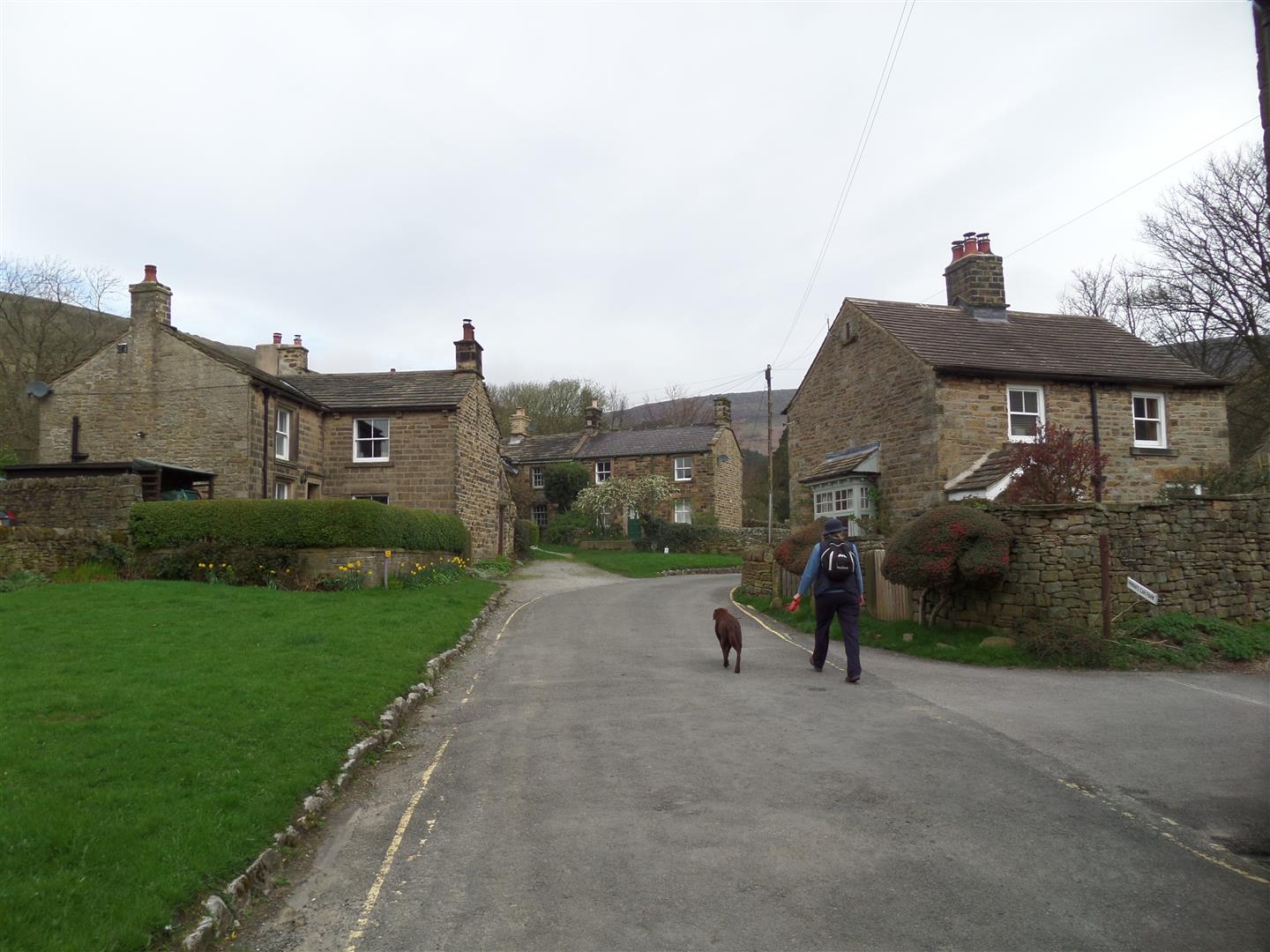
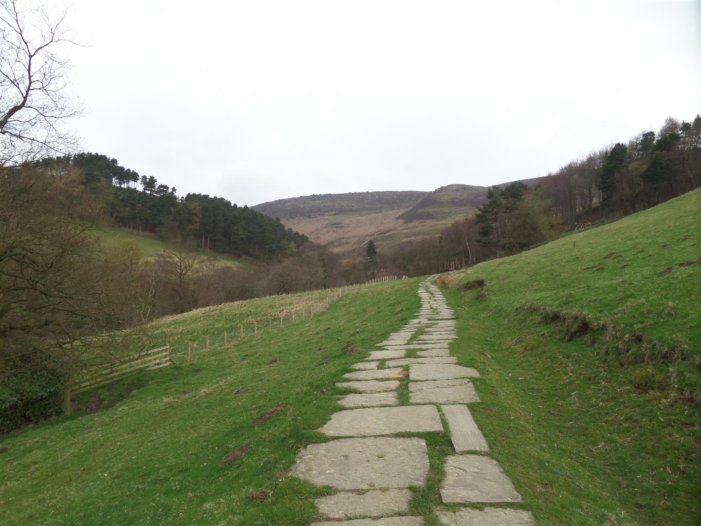
Ignoring the finger post for the new route, we continued up through the village and picked up the old Grindbrook Clough route, which started quite civilised on flag stones as we climbed into the valley.
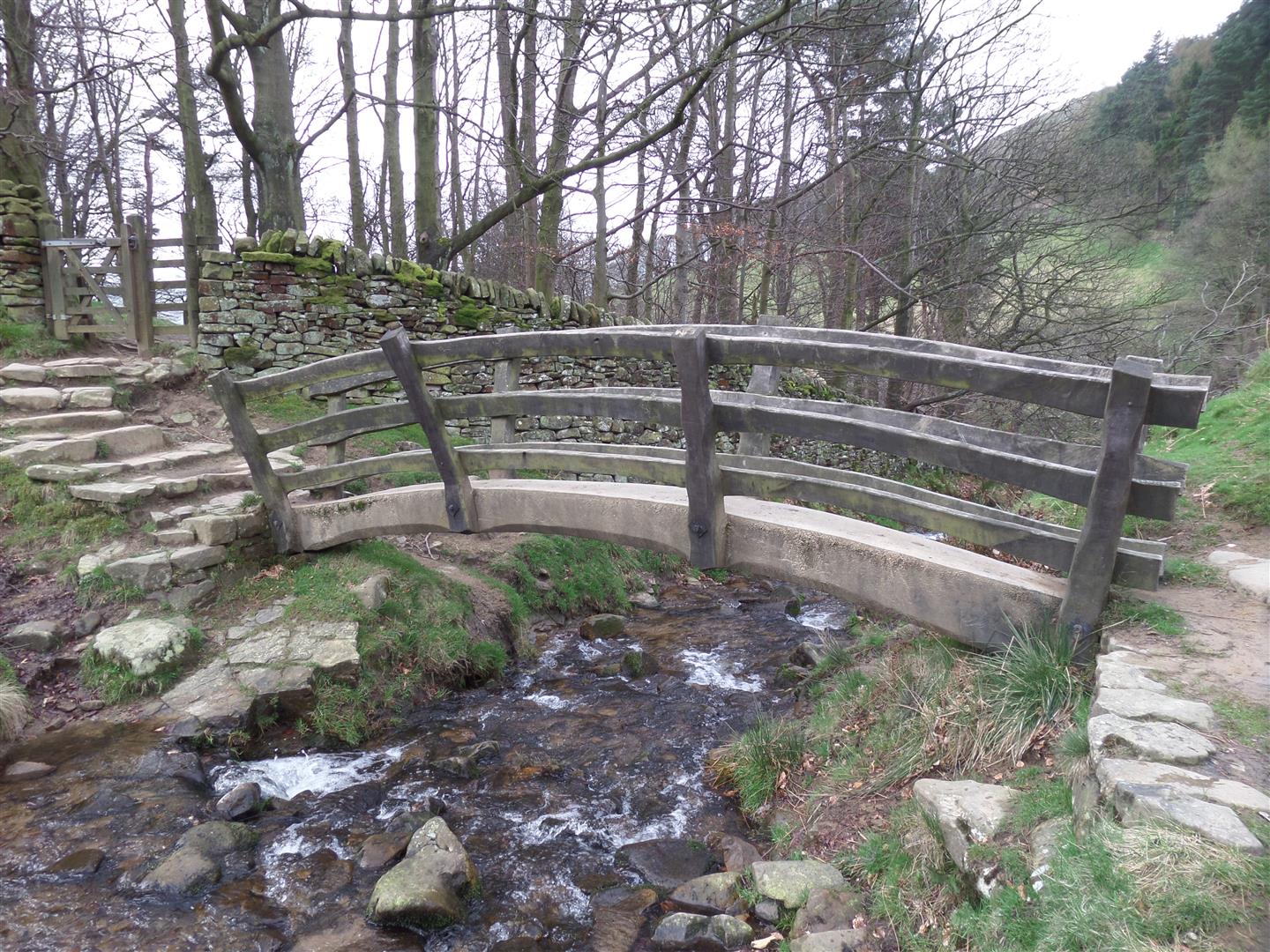
We passed under The Nab, and as the valley narrowed we crossed a rustic foot bridge and entered open country.
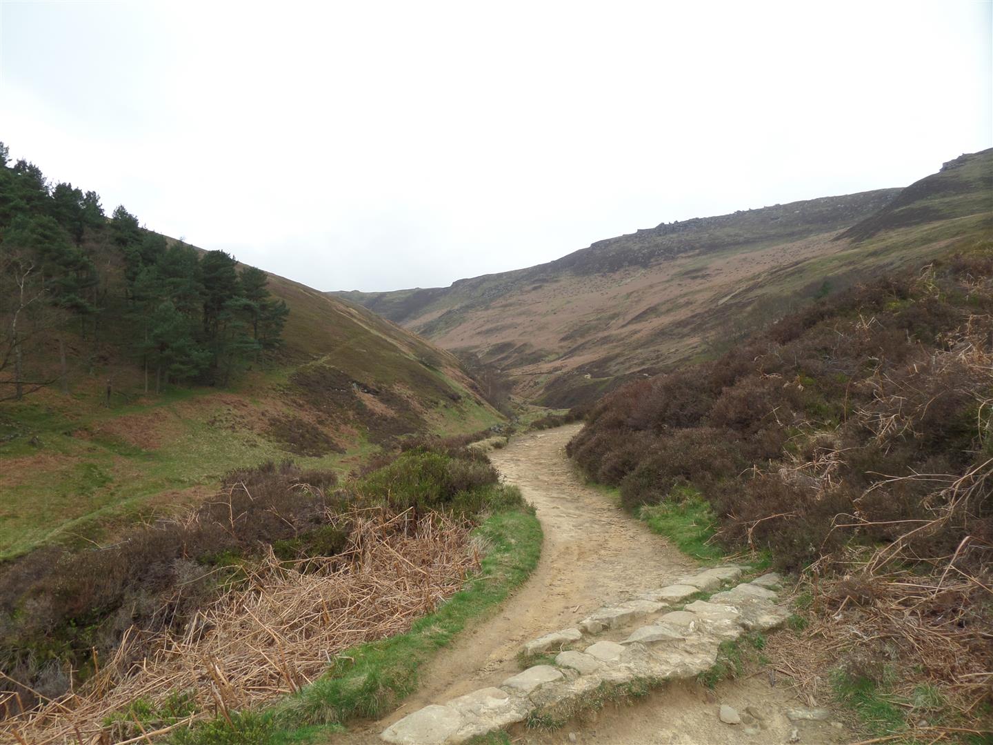
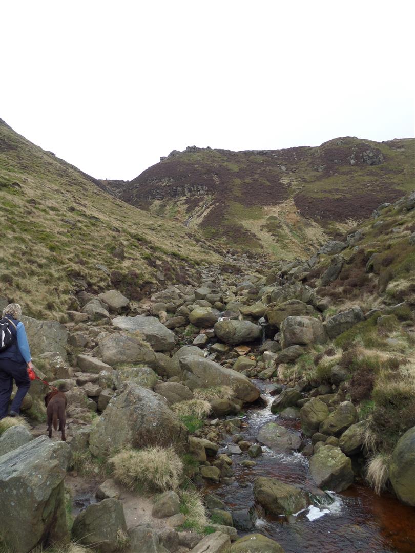
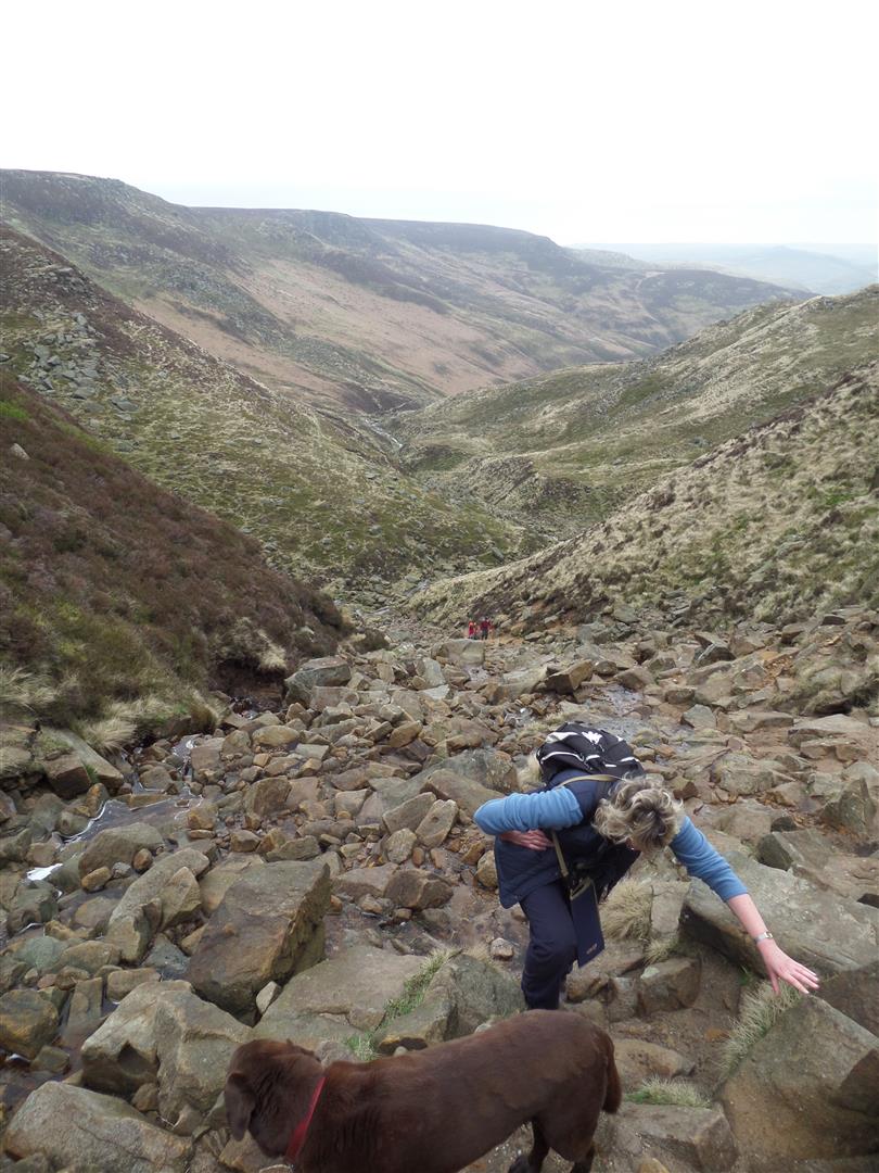
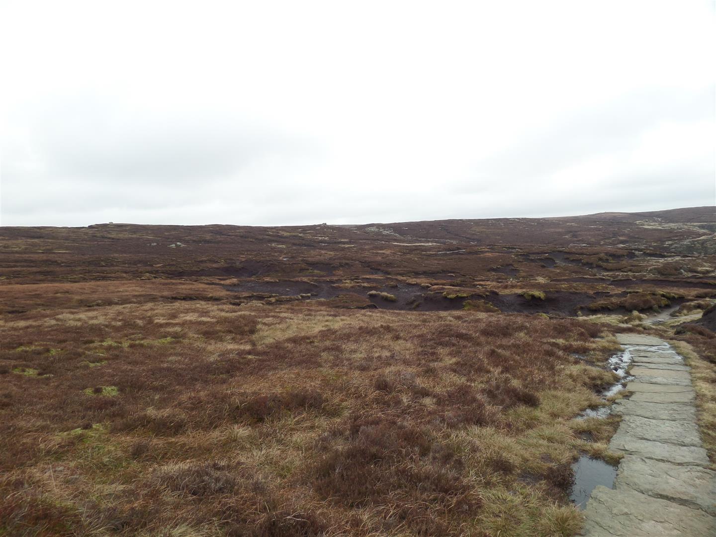
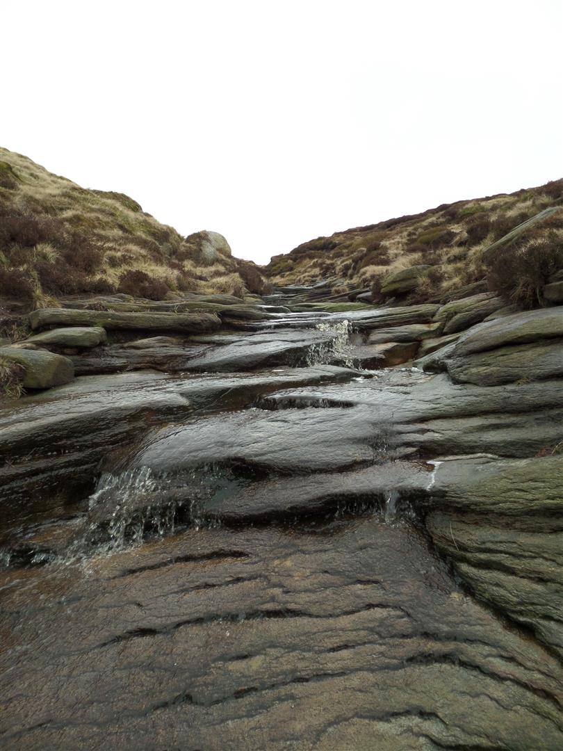
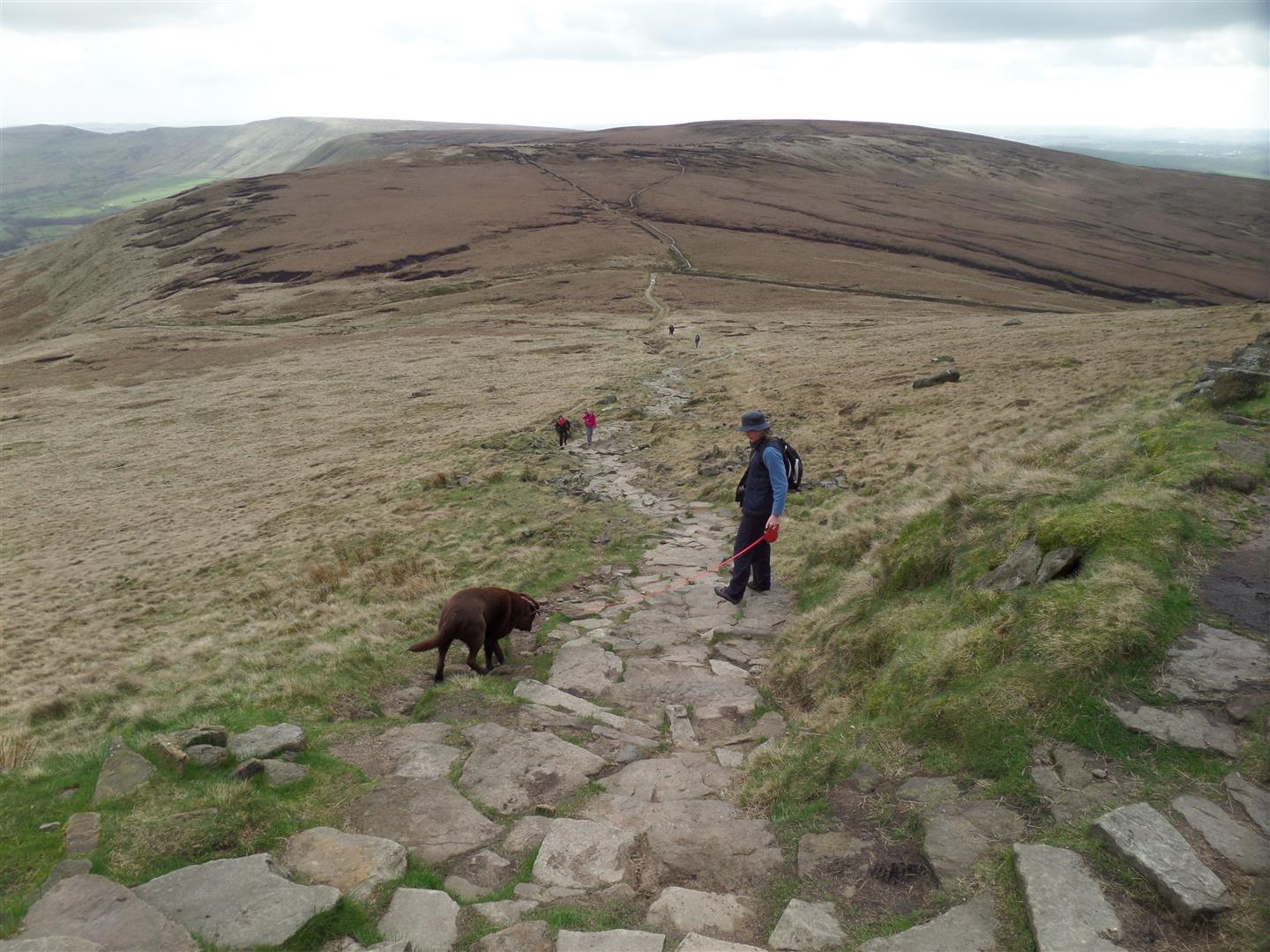
Initially the path was a good one, albeit unsurfaced, but it soon became a scramble over the boulder field of the stream bed itself, especially once past Fox Holes, where the climb became very steep, but we eventually hauled ourselves onto the flat top, and surveyed the black peaty soil and groynes of Edale Moor on Kinder Scout.
When you see the erosion, and difficult walking conditions it becomes obvious why the Pennine Way was re-routed.
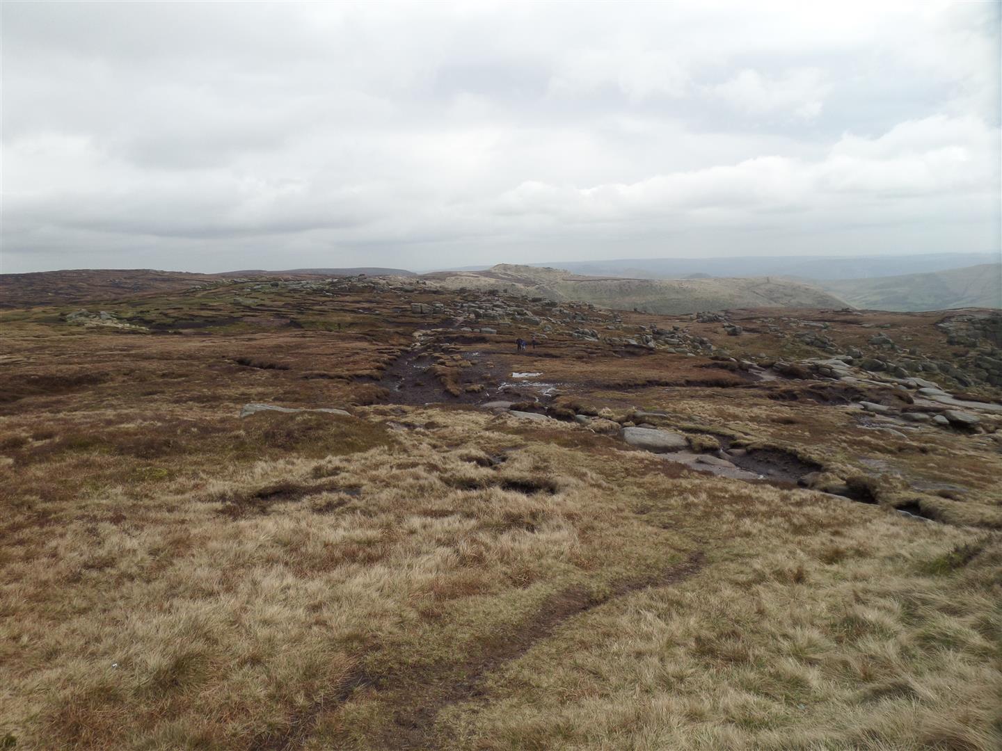
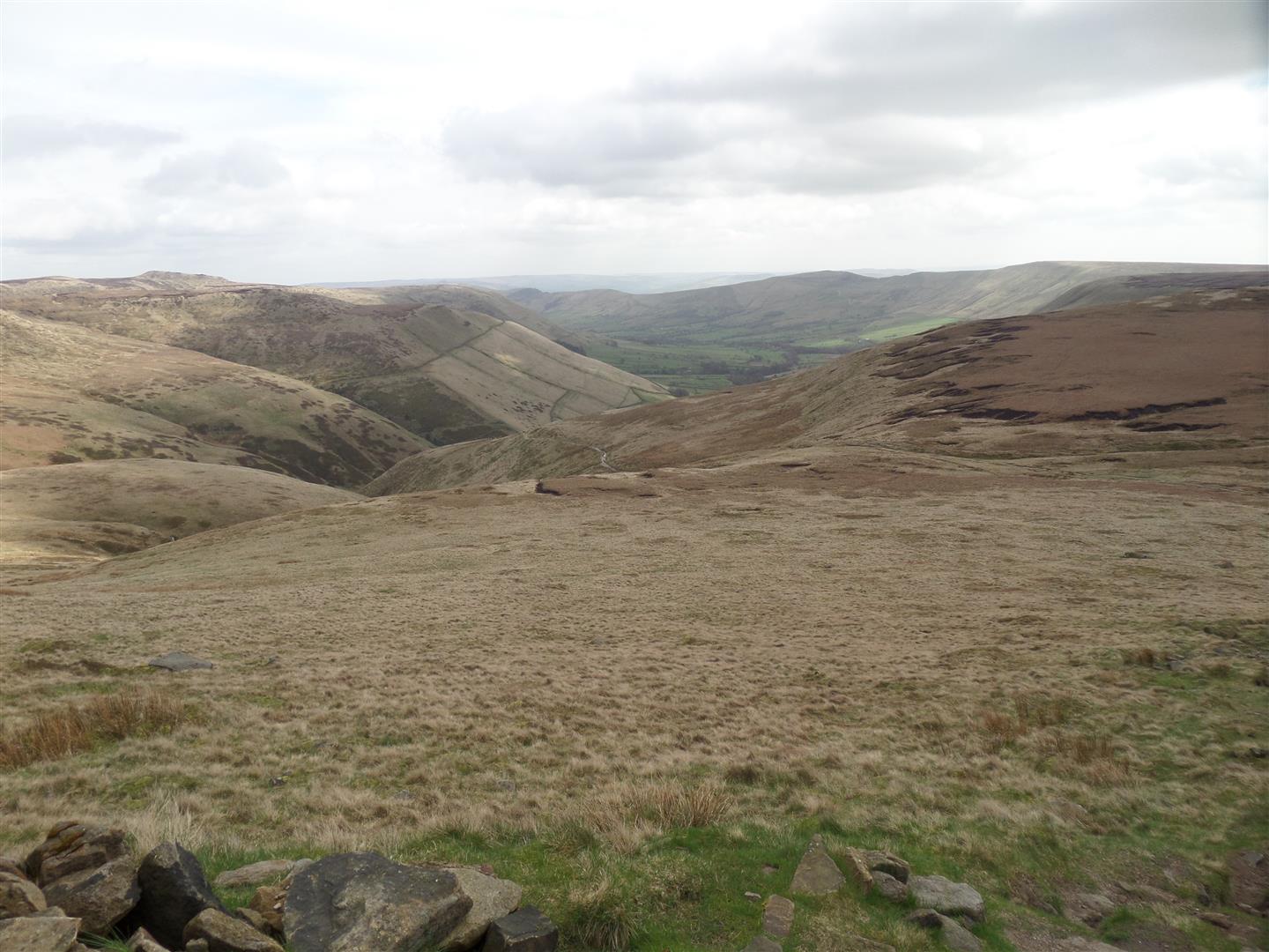
But, there is a flagged path through what is left of the peat that took us west to a ford at the head of Crowden Clough, below the rocky peak of Crowden Tower.
The original route then heads north, following Crowden Brook and it's head waters and across the open moor to Kinder Downfall - a waterfall that frequently flows upwards as the westerly winds hit it!
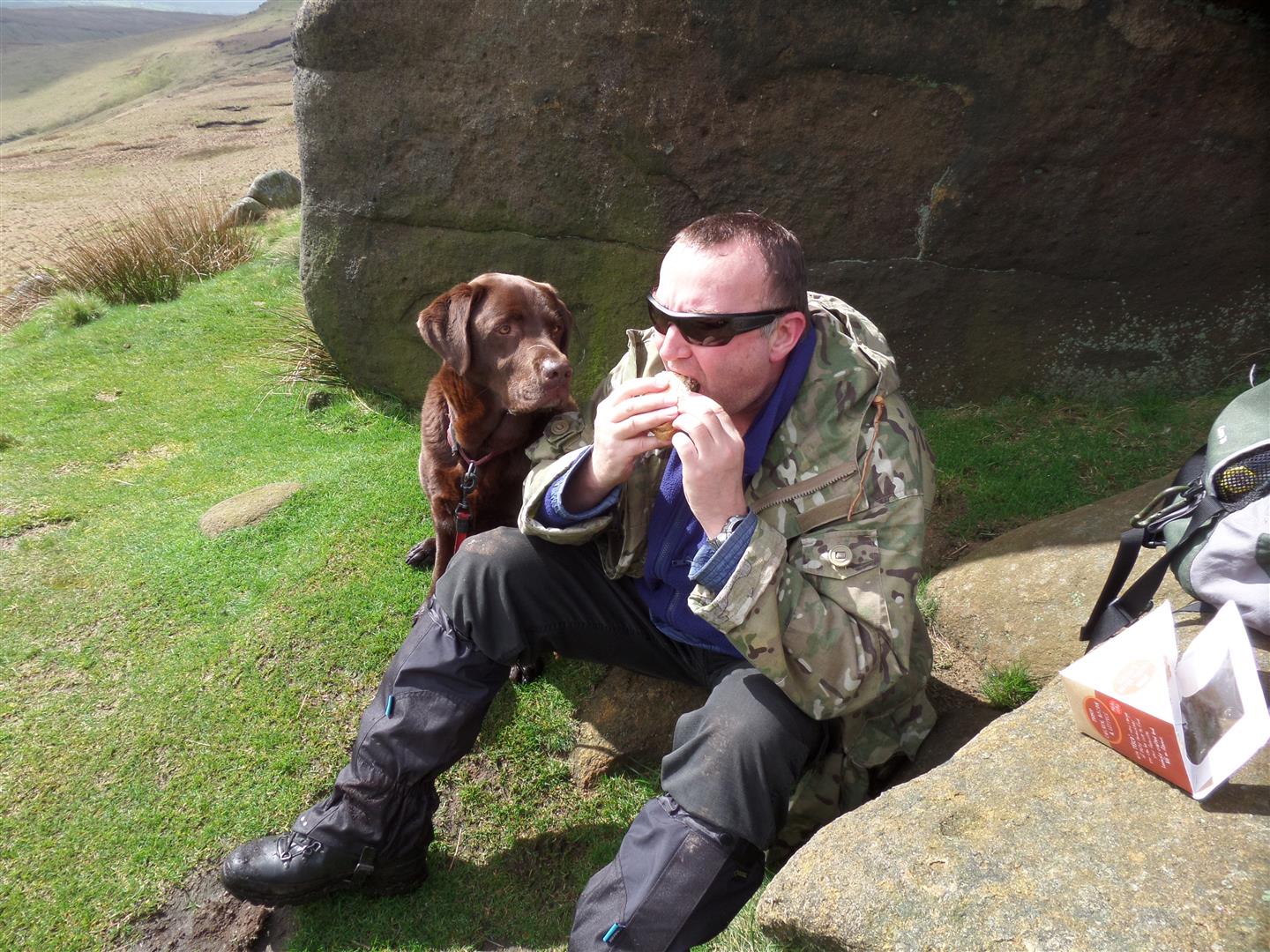
This time though, we stayed on the path over the Tower and around Edale Head passing the rock formations of the Wool Packs, Pym Chair and Noe Stool, where we stopped for lunch, and enjoyed some sunshine. A rare treat on an otherwise overcast day.
This part of the route is only partially surfaced, and we got a muddy taster especially when making our way through the Wool Packs!
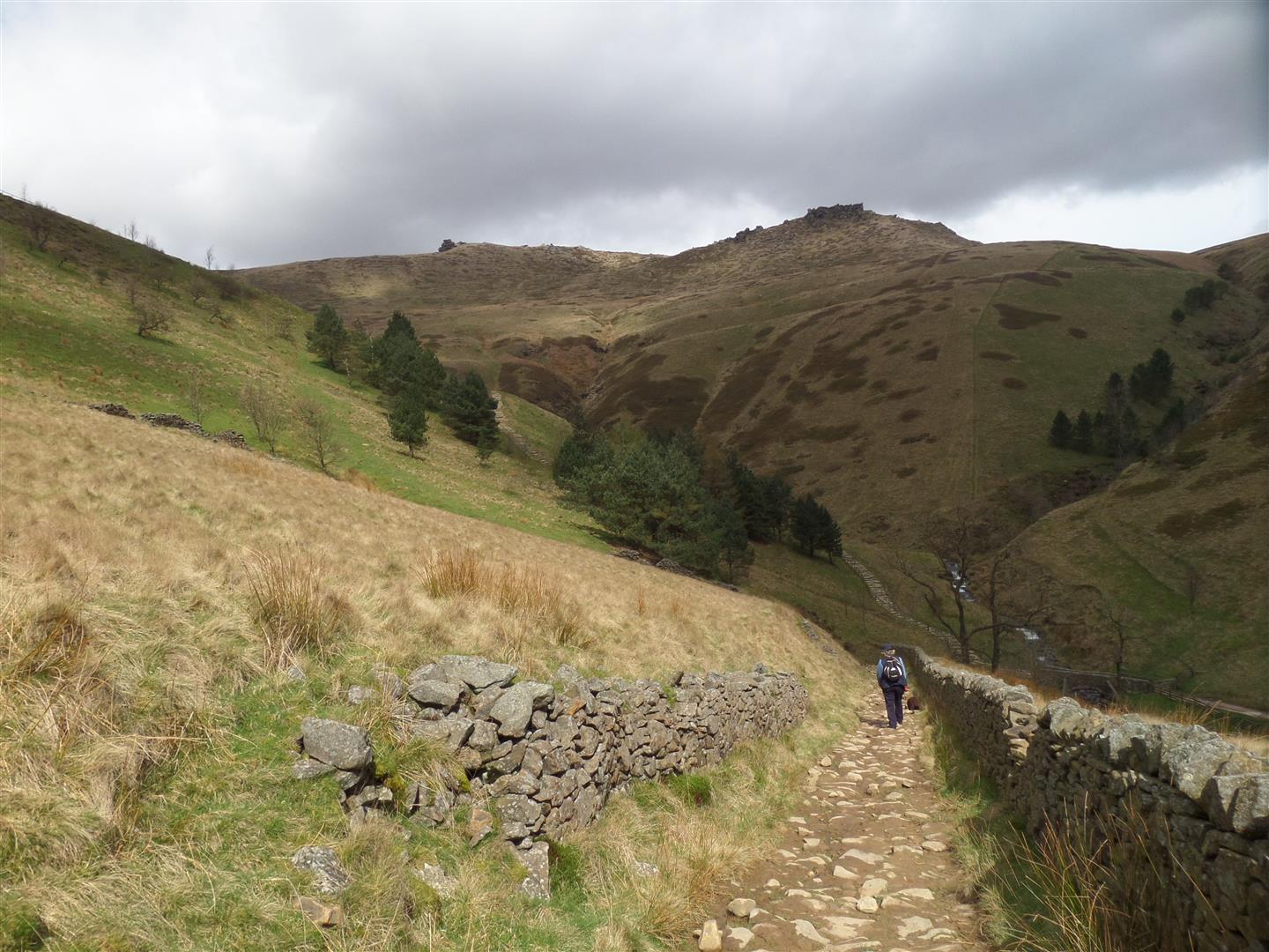
From Noe Stool we headed downhill, and joined the new official Pennine Way below Edale Rocks, and turned east on it, after crossing the Swine's Back, towards Jacob's Ladder. The Swine's Back is a pass where paths cross heading in all directions, north, south, east and west.
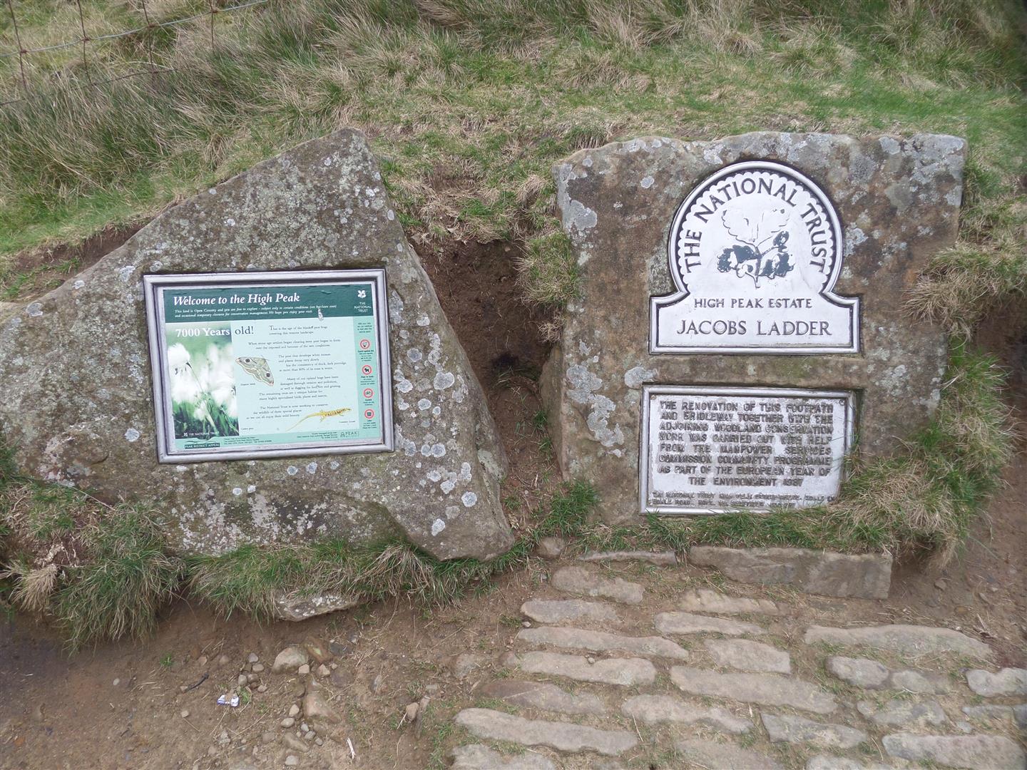
Jacob's Ladder is a very steep climb (or descent in our case) from the valley bottom and high ground. Thinking it was going to be a boulder scramble, like we'd already down in Grindbrook Clough, we opted instead to follow the optional bridleway which looped round the hill.
However, we soon saw that the Ladder was actually a flagged path, like a giant staircase.
At the bottom we left open ground, and followed an unsurfaced farm track past Lee House, and then on tarmac to Upper Booth Farm.
Following the Pennine Way signs we walked through the farm yard and climbed uphill through some very wet and muddy fields to the bottom of Broadlee-Bank Tor, and from there followed the mostly flagged path gently downhill across fields full of sheep & their lambs back to the Old Nag's Head in Edale, before returing to the car.
Date Walked: 09Apr14
Distance: 8.6 miles
Time: 4h 22m
Ascent: 1905'
Descent: 1918'
Hover over photo for description, if available, or click for full size version