A walk from low in the Derwent Valley up to the Regimental Memorial Tower above Crich
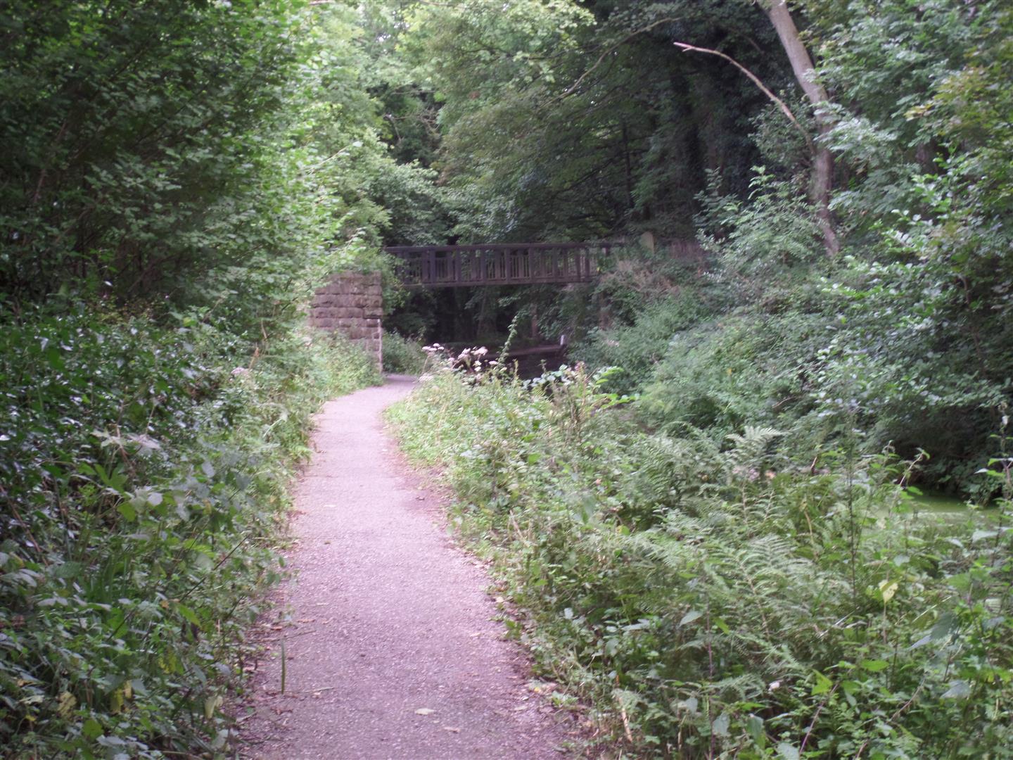
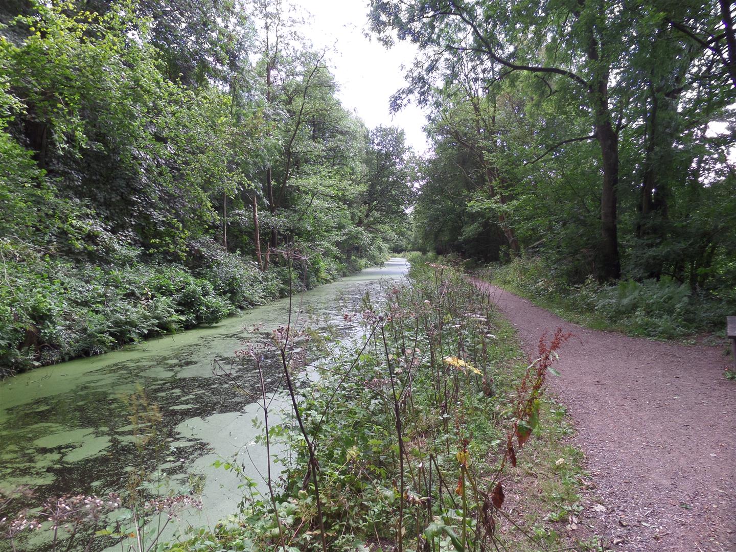
We parked in the P&D car park at Whatstandwell train station and crossed the foot bridge over the rail line to come out by the side of the Cromford canal.
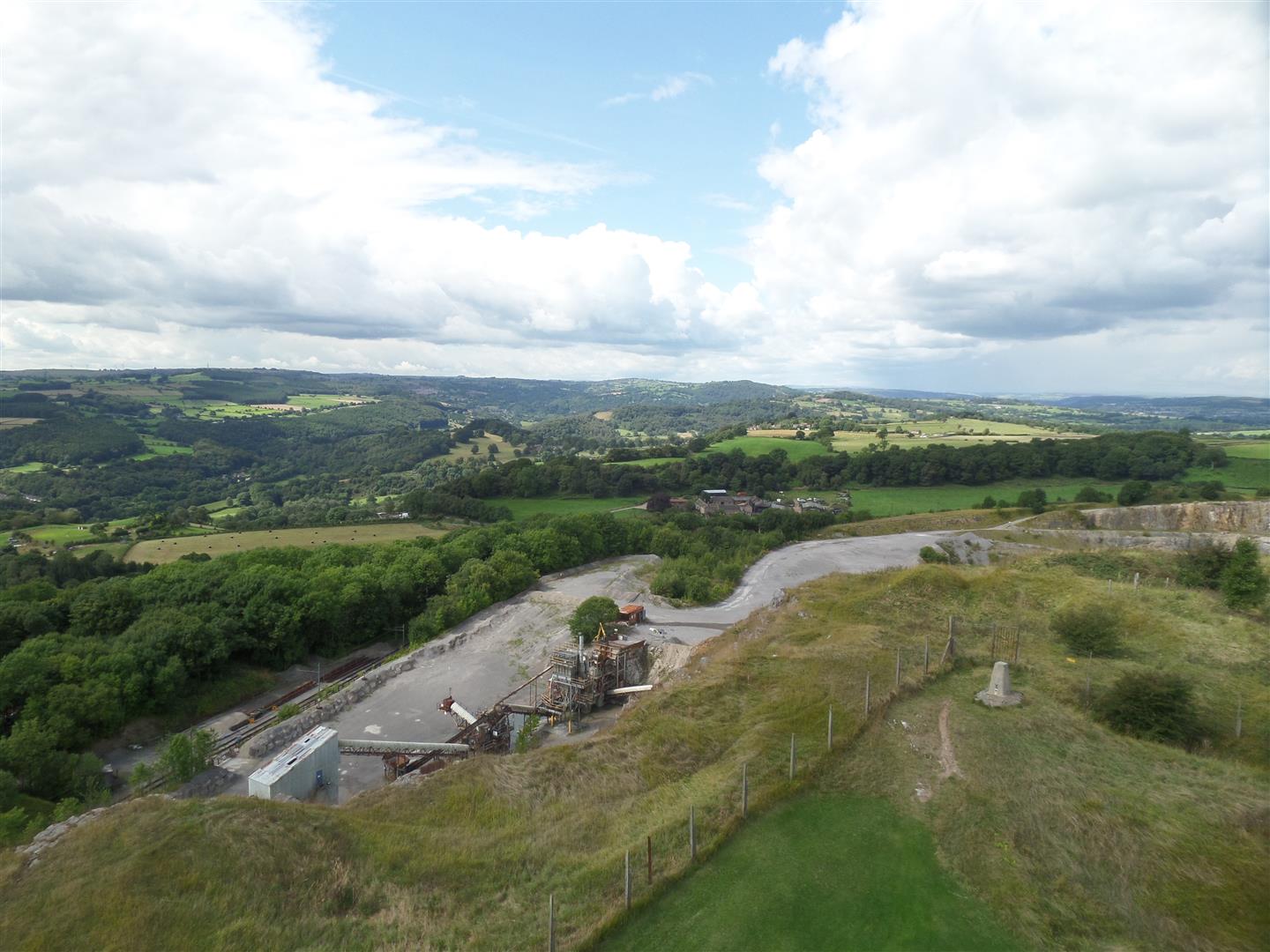
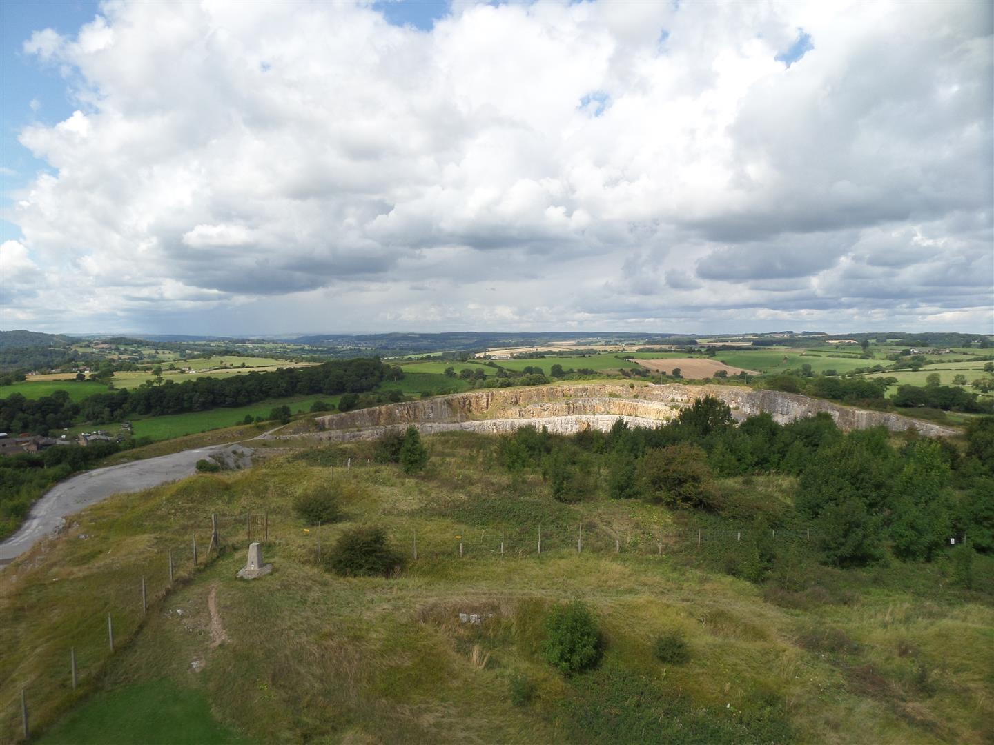
We headed north along the canal before crossing it and heading uphill through Duke's Quarries, a wooded series of disused quarries.
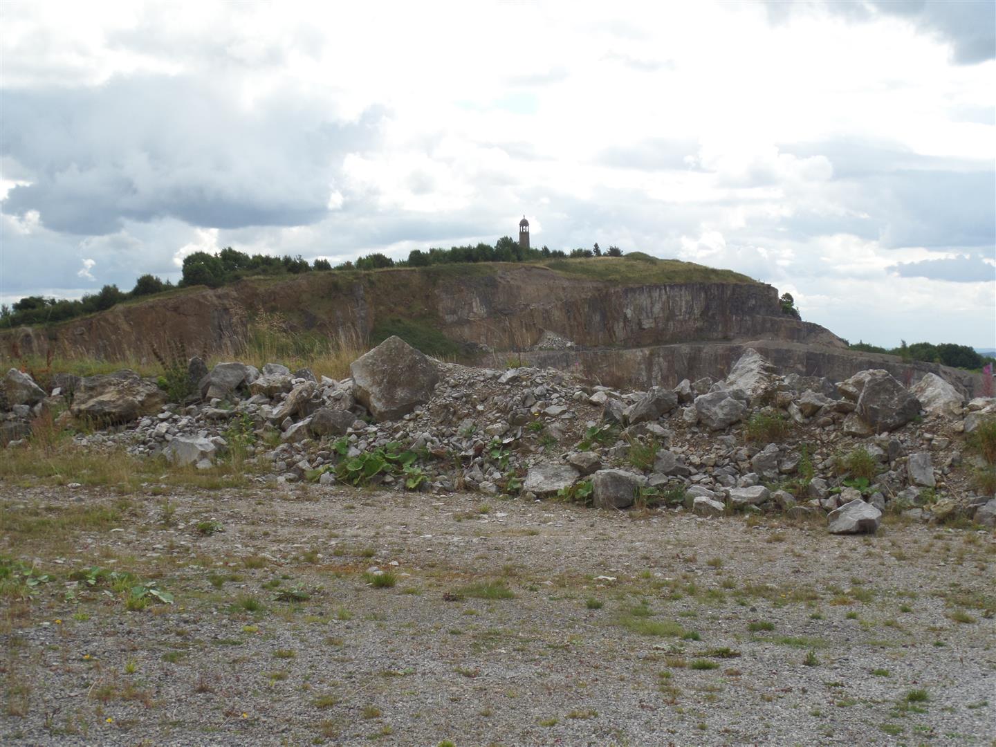
We continued along the path uphill, crossing a minor road, along a farm access road before heading off towards Cliff Quarry.
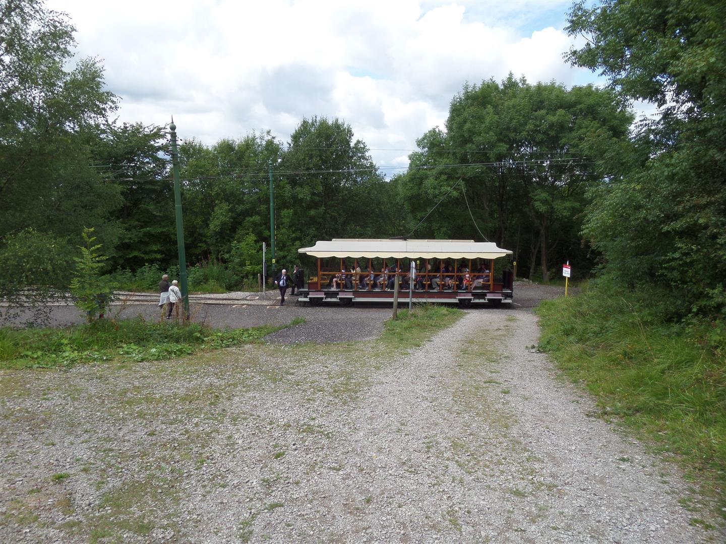
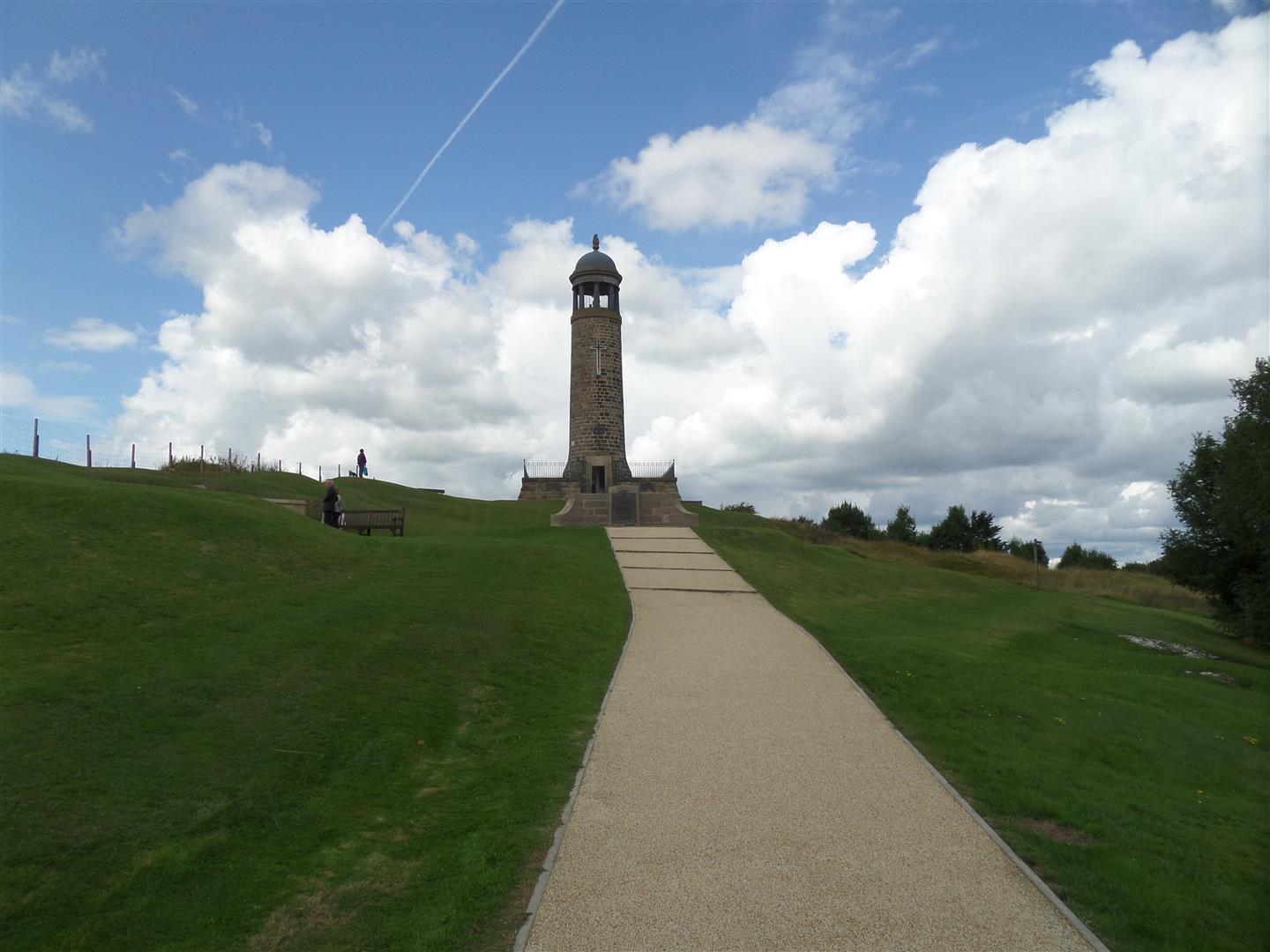
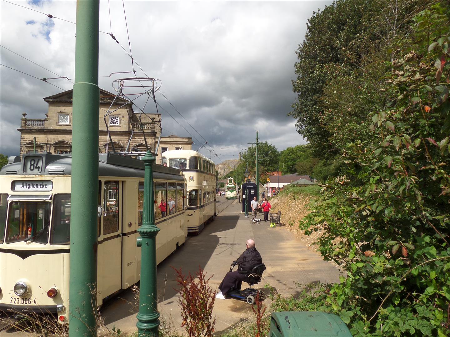
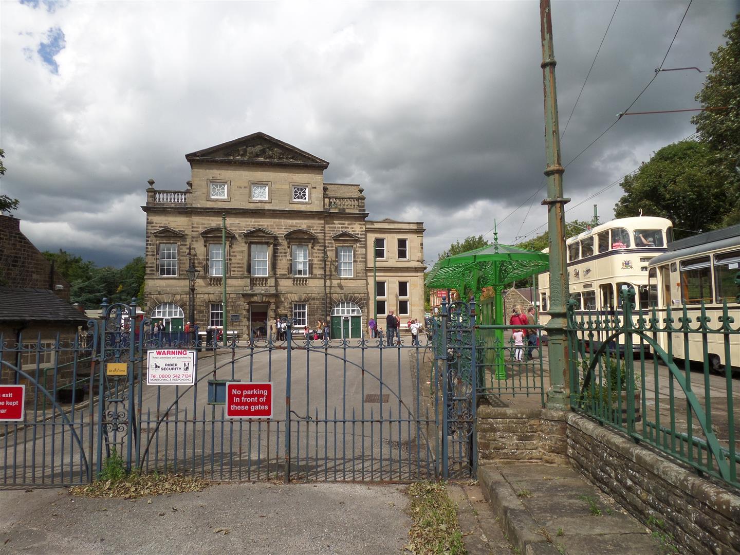
We passed through the quarry terminus of the tram line that allows visitors a go on the various trams used by the National Tram Museum, and after watching a tram go through it's turn around procedure - unhooking the electric boom, swinging it round and hooking it back up at the rear of the tram - continued up the hill and around the actual quarry itself until we come to the grounds of the memorial tower.
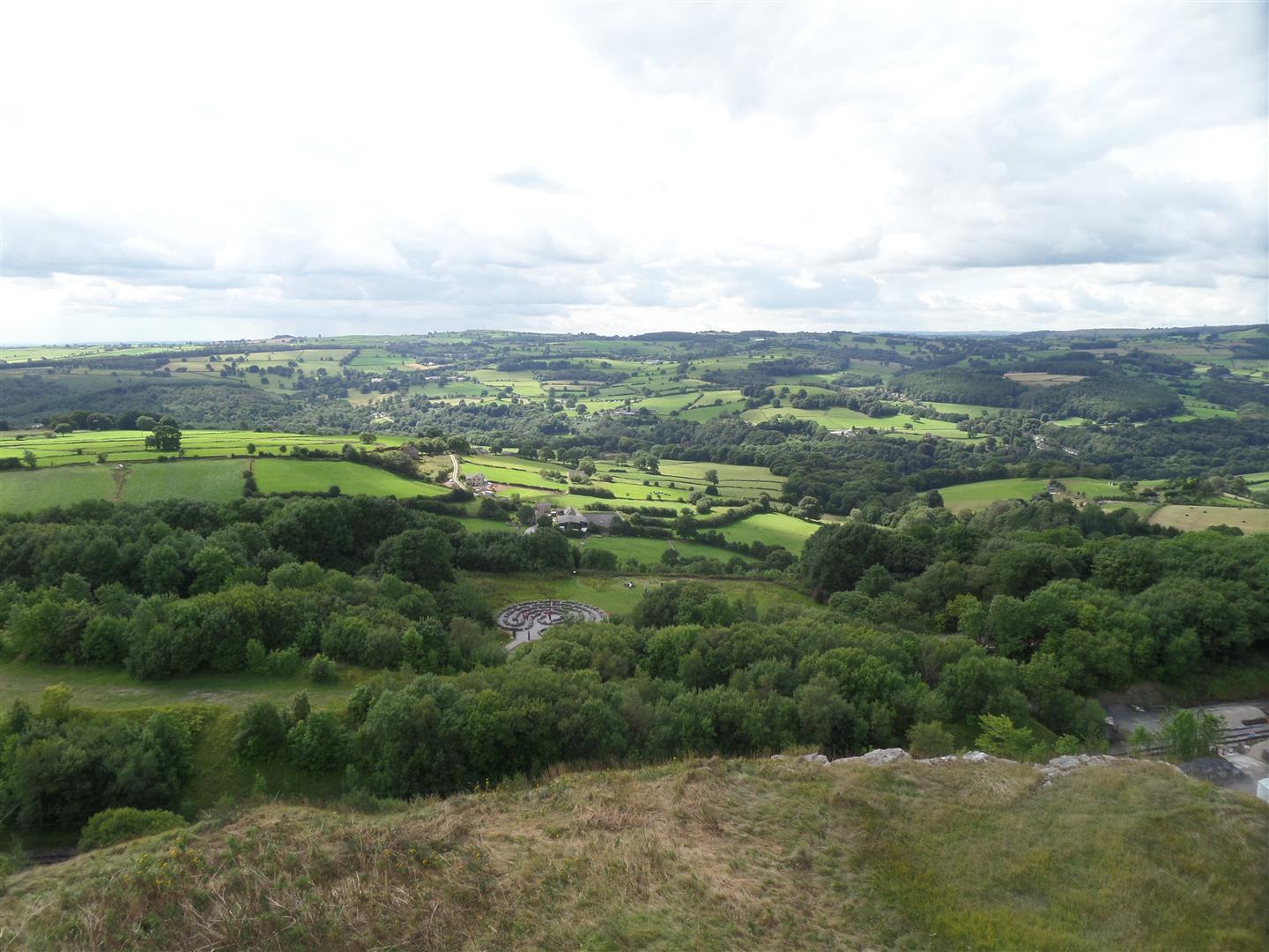
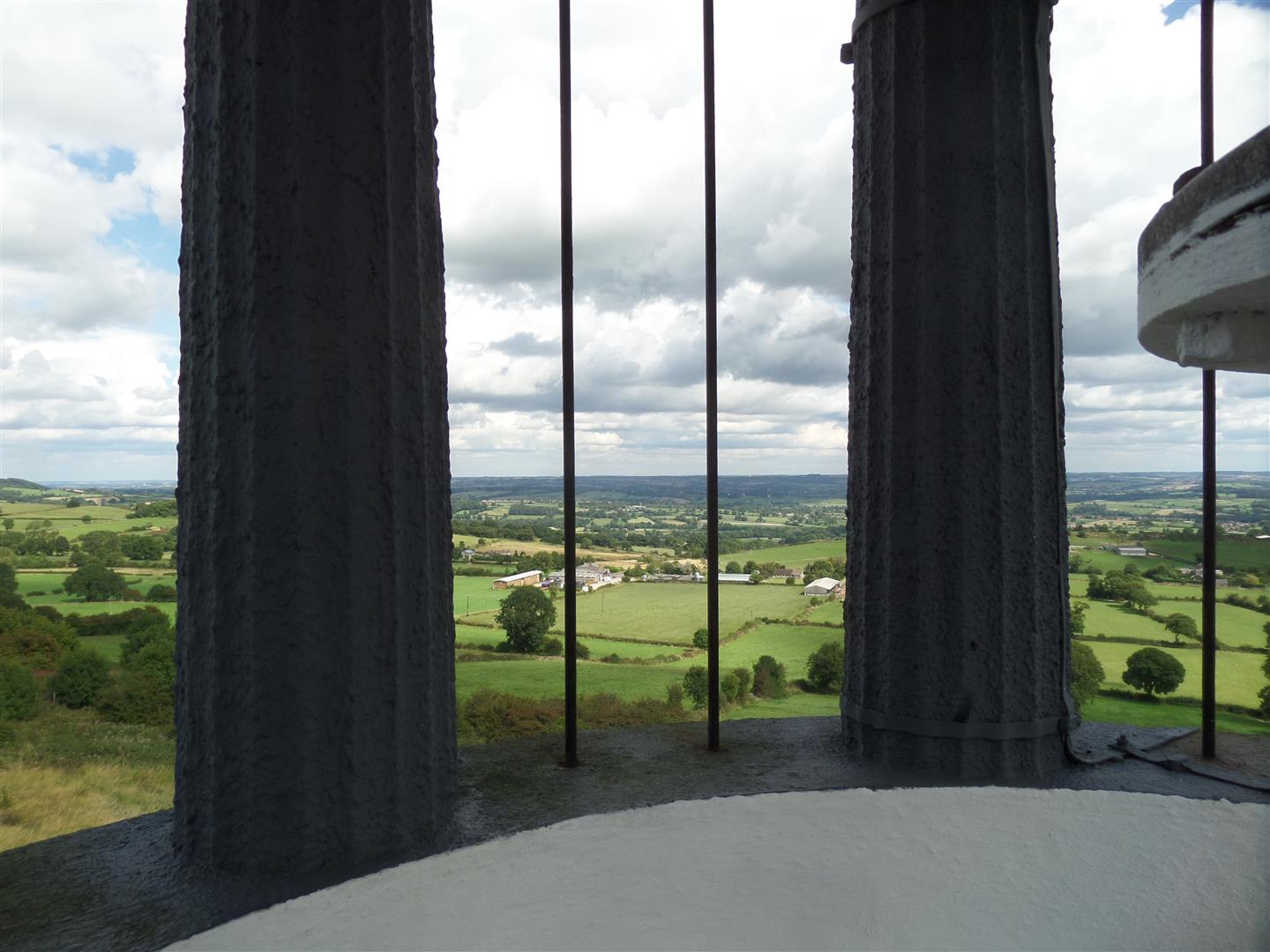
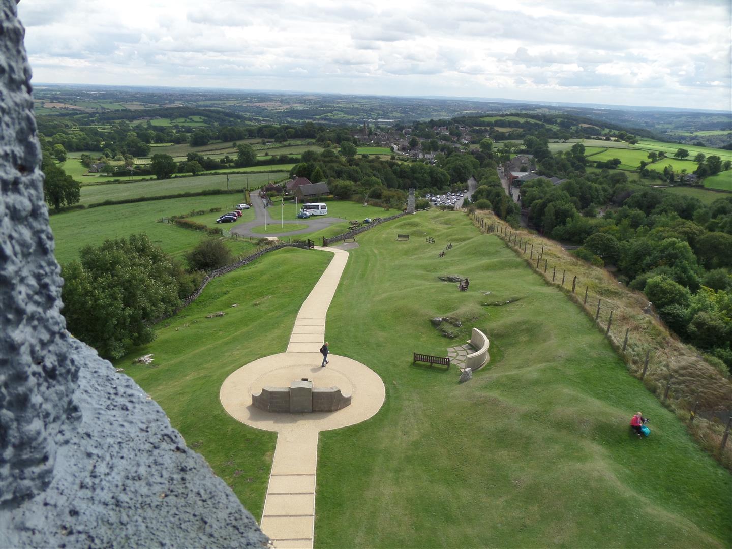
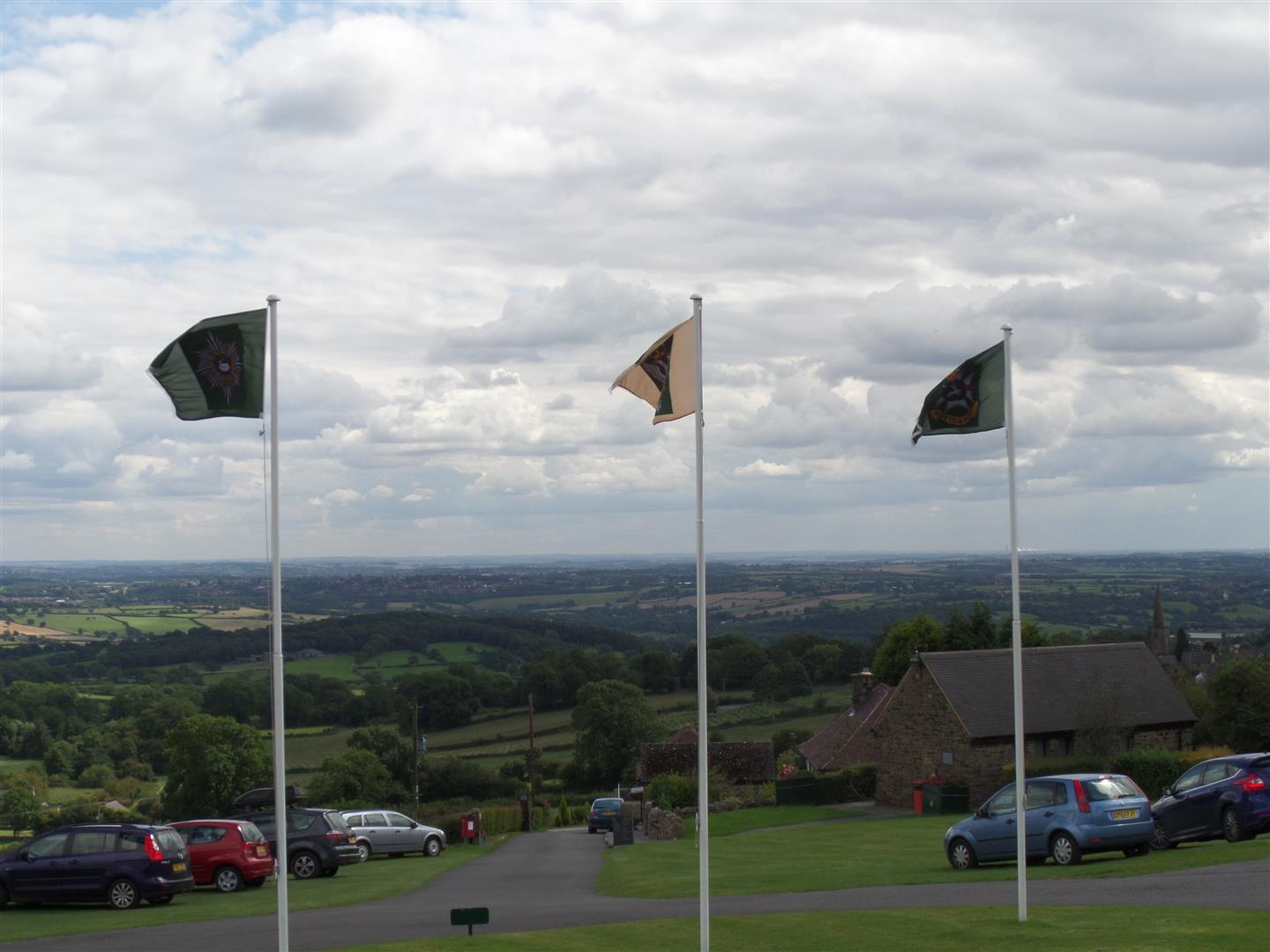
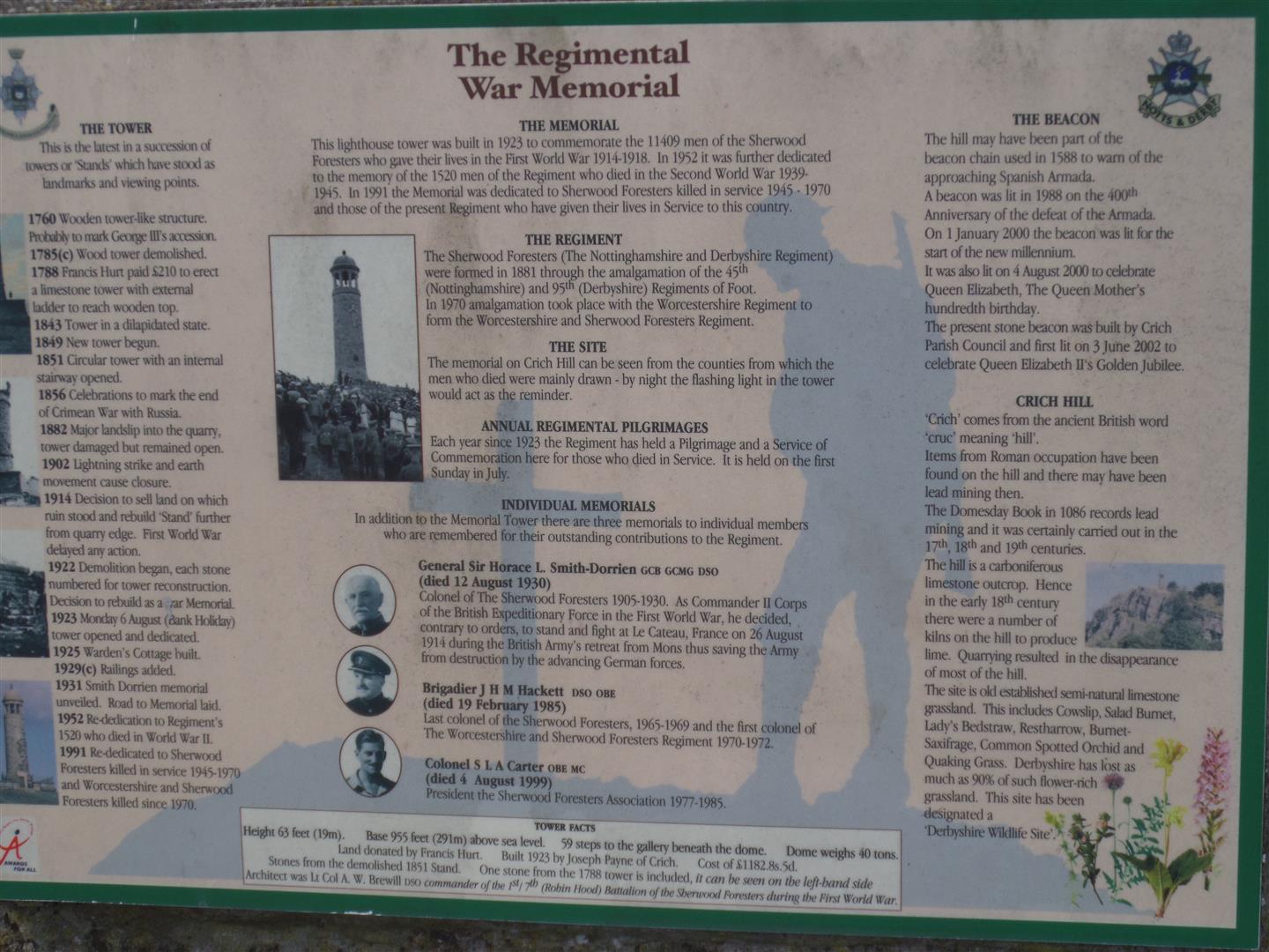
There have been a number of towers here since the late 1700s, because from this point it is possible, on a clear day, to look out over eight counties. The current tower was built in the 1920s as a memorial to those men of the Sherwood Foresters (Nottinghamshire & Derbyshire Regiment) who died in the First World War, and has been re-dedicated as the regiment has merged and changed over time, as well as also becoming a memorial for those who died in the second World War.
It is supposed to be visible all over the area where men were historically recruited for the regiment, and is even lit up at night.
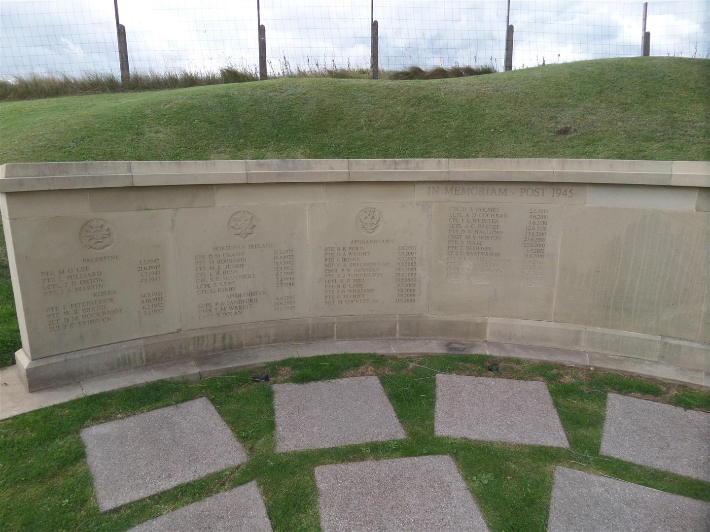
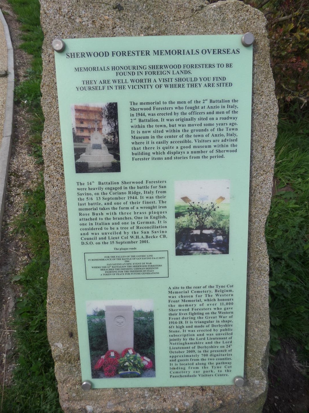
There is a separate memorial wall in the grounds for those who died subsequent to 1945, and it is sobering to see that more have died in Afghanistan, than in previous campaigns added together (Palestine, Korea and Northern Ireland).
We had lunch in the car park before heading down towards Crich, past the National Tramway Museum, skirting the upper part of the town on a bridleway before passing through the western fringes and out downhill through a couple of sheep paddocks.
We crossed over the Whatstandwell road before heading down through the woods of Chase Cliffe and back down to the Cromford Canal, which we followed north back to the car park.
Date Walked: 18Aug14
Distance: 5.6 miles
Time: 2h47m
Ascent: 759'
Descent: 914'
Hover over photo for description, if available, or click for full size version