A short but very hilly walk taking in two special hills just south of Buxton
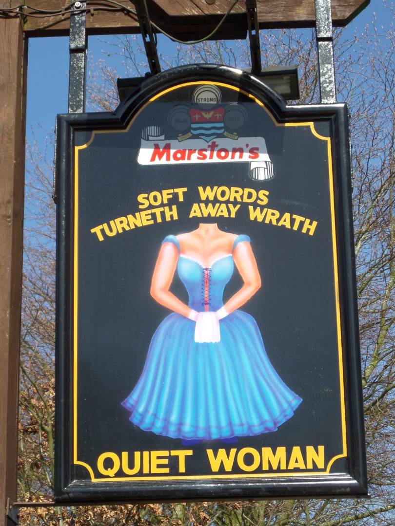
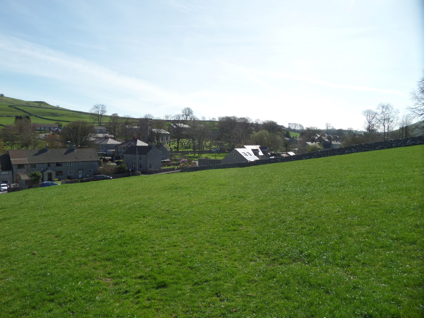
We parked alongside the village green by the church in Earl Sterndale, opposite the Quiet Woman pub.
From the pub, we passed through the recycling centre and along a grassy back alley behind the houses and into a field heading west away from the village.
The track recording our footsteps shows the slight error we made taking the obvious left hand turn away from the alley before we realised and back tracked.
We passed over the crest and zig-zagged down the hill to the road south of Glutton Grange and crossed over into the field.
The route plan we were using had us doing an anti-clockwise route, but as we headed towards Glutton Grange across the field, we did a quick about turn when we found our route blocked by a pen full of sheep. Although we had the right to pass through we decided, especially as we had the dog with us and the sheep were in lamb, to change plans and follow a clockwise circuit instead.
Hence the second little detour showing on the track GPX file.
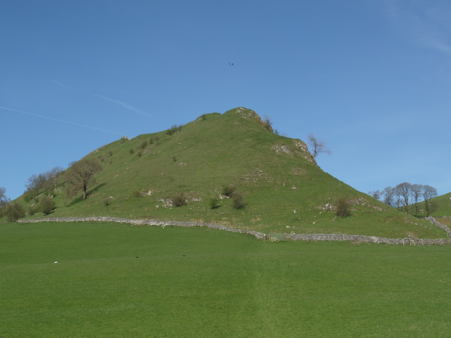
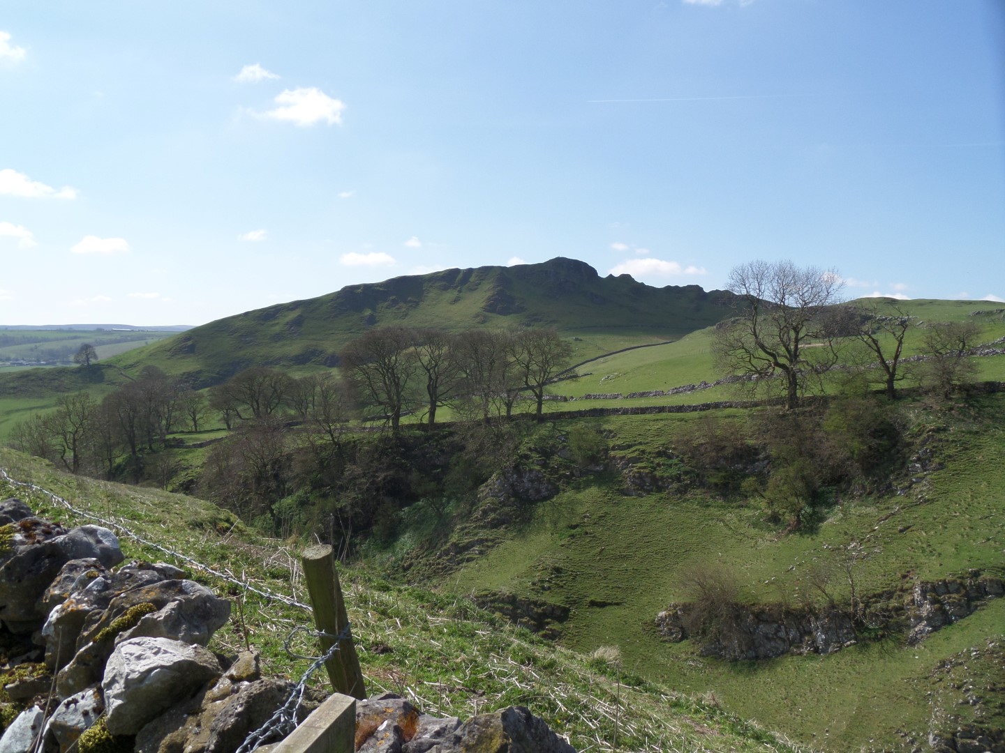
From the top of the crest by Earl Sterndale Parkhouse Hill did not look too bad, but from the valley bottom by the Grange it loomed very high and steep above us.
Up until recently there was no right of way up there, but it is now Access Land so happy days.
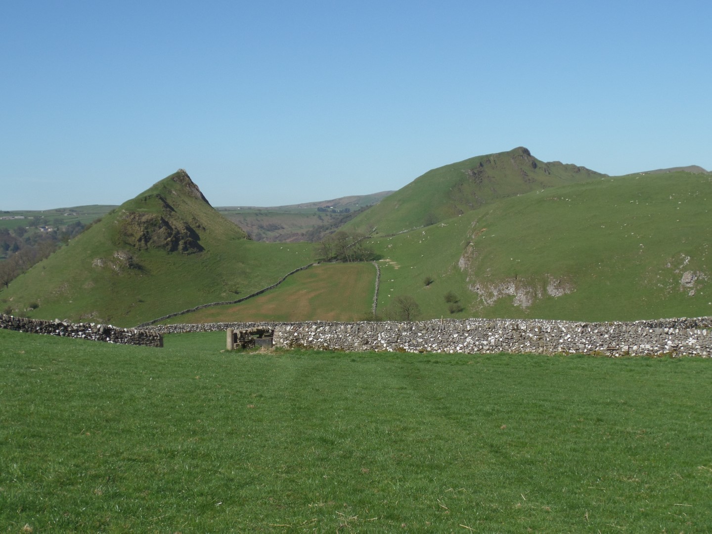
We picked a path that avoided the ewes with young lambs as best we could and climbed to the top of the hill before following the ridge to the western end and dropping back down to another valley bottom.
We made good use of a small babbling brook to water the dog, and get him nice and wet so he didn't suffer too much from the unusually high spring temperature before following a concessionary path onto Chrome Hill, which like the previous one has only recently been accessible without trespassing.
Both hills are remains of an ancient coral atoll and are sites of special scientific interest, not least Chrome Hill because it is one of a very few places where a double sunset can be witnessed at certain times of the year.
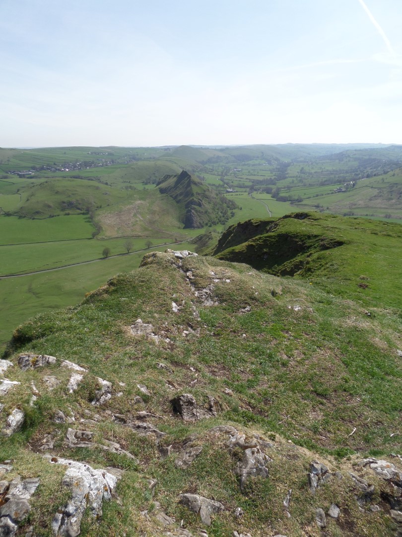
After falling foul of a cruel number of false crests the summit was finally reached and a stop called for lunch.
Fantastic views looking towards Shining Tor one way, and along the Upper Dovedale valley the other, and all points in between.
We followed the hill north-westerly before descending and leaving the Access Land along the concessionary footpath bypassing Stoops Farm and to the minor country lane.
Looking left we could see a small concrete bunker on top of the hill, I guess part of the defences for Manchester Airport in the Second World War when it was a military airfield.
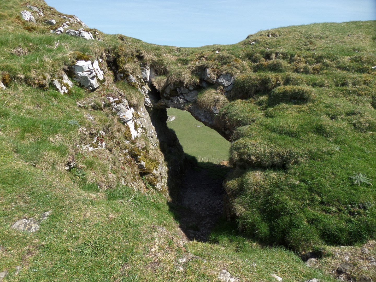
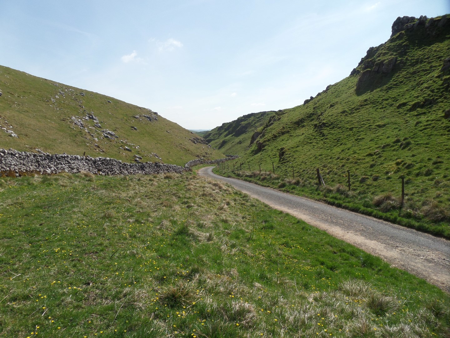
We turned away from that and followed the lane downhill past the cave at Owl Hole and through Dowel Dale, a smaller version of Winnats Pass.
Before exiting the dale we turned off left onto a footpath that took us up a very steep slope out of the dale heading west across gently sloping pasture before turning south and dropping down into Hatch A Way dale to Glutton Grange farm.
No sheep to worry about this time, and onto the road to pick up the path back over the crest to Earl Sterndale and the car.
Date Walked: 22Apr15
Distance: 6.1 miles
Time: 3h31m
Ascent: 1805'
Descent: 1804'
Hover over photo for description, if available, or click for full size version