A different way to view the Dale
We wanted to take advantage of the nice spring weather, and take a different look at Lathkill Dale.
Most people just park up at Monyash, and walk down the Dale, and either come back the same way, or do a round walk via Over Haddon. We opted for something a little different, and shorter as it happened.
We parked in the village car park at Monyash, and walked through the village green area in front of the Bull's Head Pub, and the Old Smithy Cafe for those of a more sober attitude, towards the village church of St Leonard's.
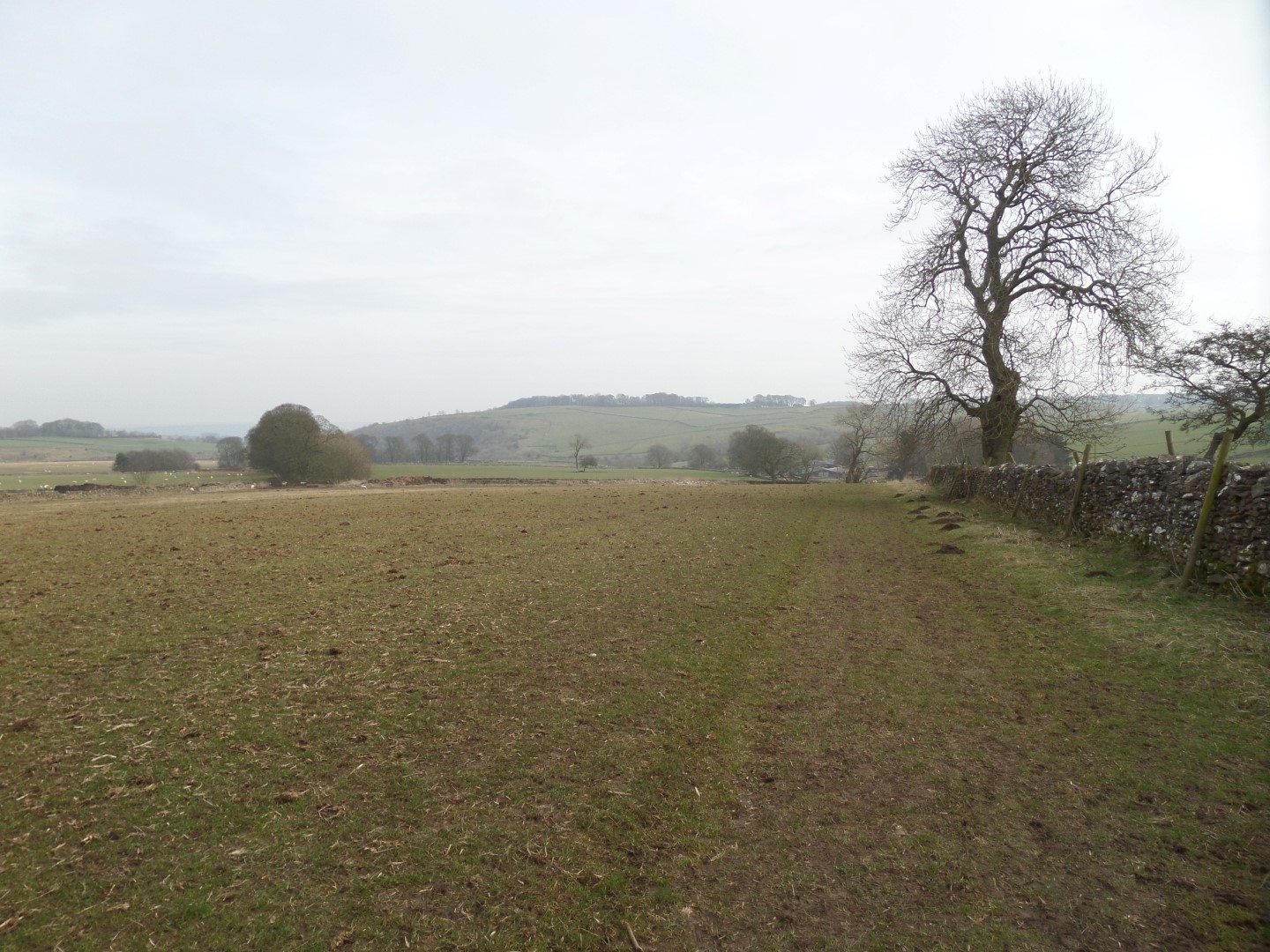
Passing through a stile in the churchyard wall we passed through the graveyard and into the fields out back, and followed the obvious line south east until we reached the Limestone Way, a long distance path across the White Peak, which here runs along an old walled track.
The track, at this point, is used by the farmer to access his fields, and is quite muddy in places, but soon becomes a narrower gravelled path until we reach the top of Fern Dale.
Although shown on the map as Fern Dale, apparently the locals know it as Fere Dale, from an old English word for heiver, or even healthy. Certainly no ferns to be seen.
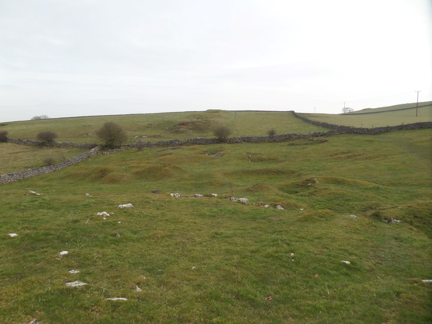
Whatever it's called, we simply walked across the top and back into open fields, bypassing some old disused lead mine workings, staying with the Limestone Way until we dropped down into One Ash Grange Farm.
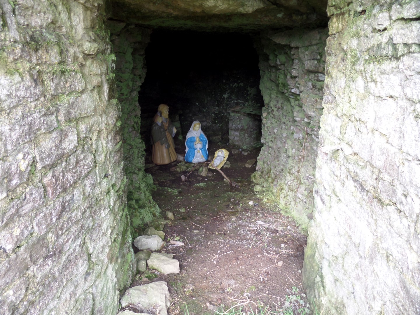
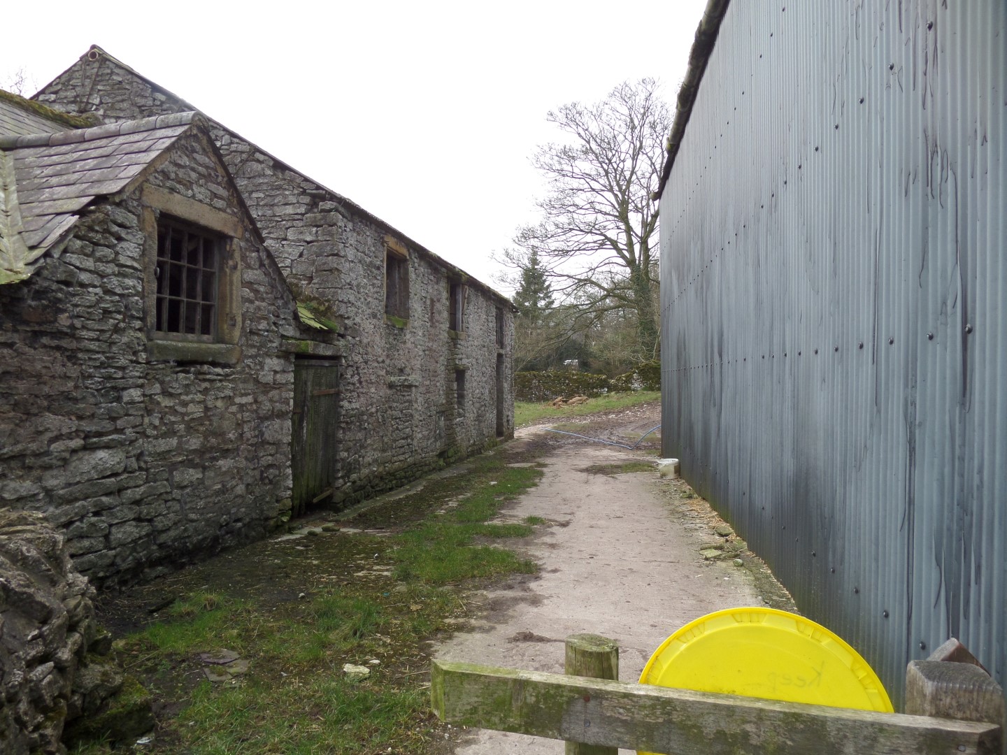
Grange normally denotes belonging to an abbey, although there are none nearby. Seems this used to belong to Roche Abbey, near Doncaster, and naughty monks would be sent here to work their penance. When the abbey was dissolved, it was a Quaker meeting house for a while before becoming the farm as seen now, but it's older roots can be seen as you pass through.
Of particular interest are an ancient row of pig sties, with their ingenious feeding system, and a nativity scene in an old grotto, in the bank under an old tree. The grotto is thought to have been a medieval ice house, to keep dairy products fresh.
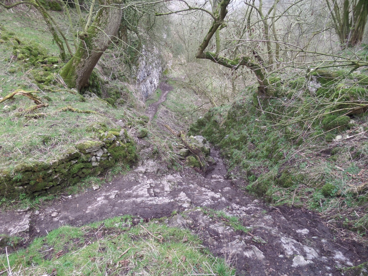
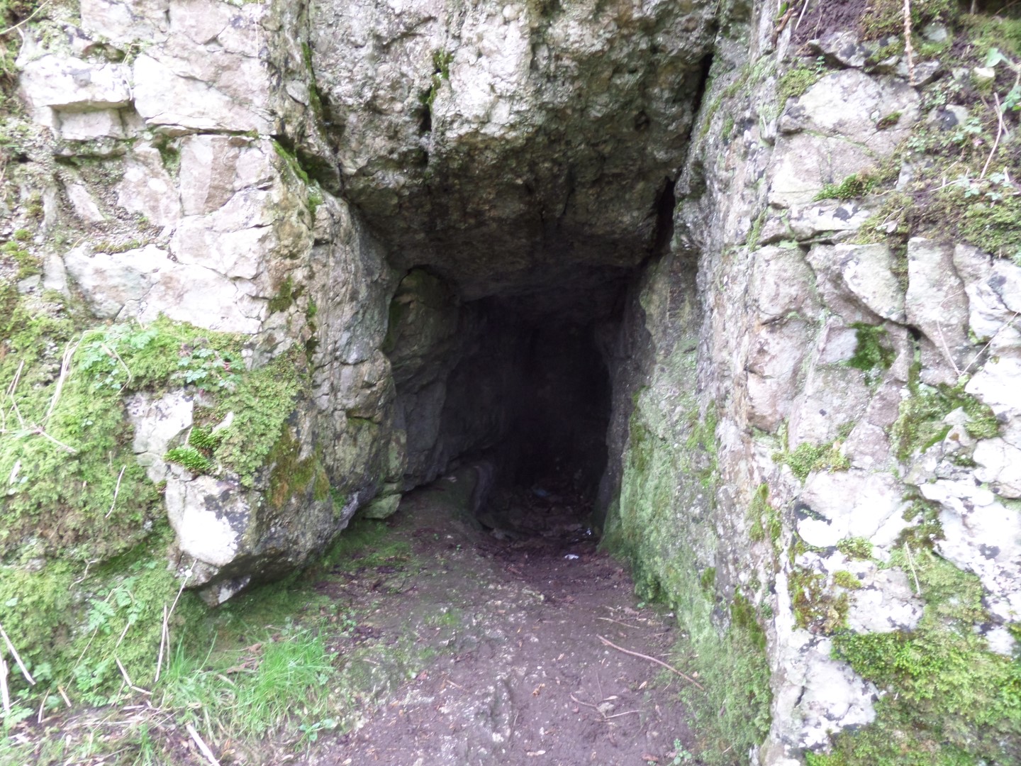
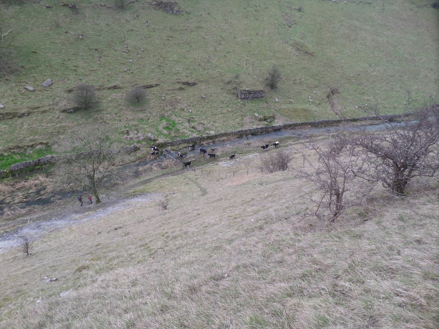
After passing through the farm we then dropped into Cales Dale and followed it north to Lathkill Dale, after checking out the old lead mine at the top of the descent, as you do.
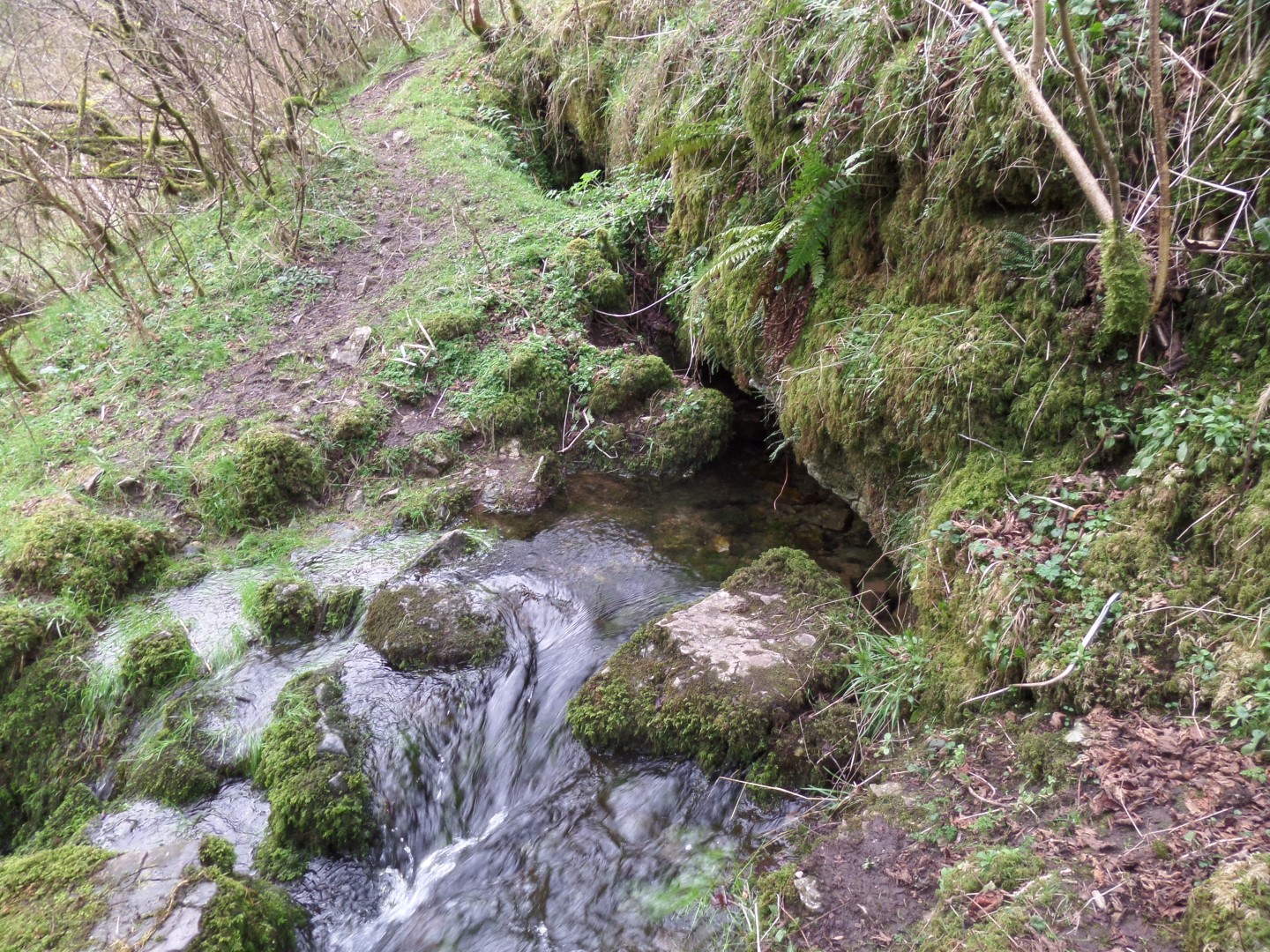
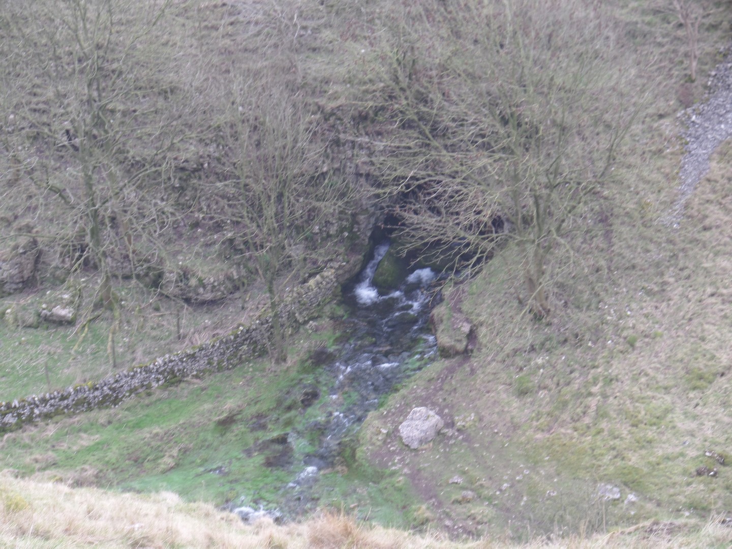
If you are feeling thirsty there is a fresh water spring that would put those French volcanoes to shame, gushing forth.
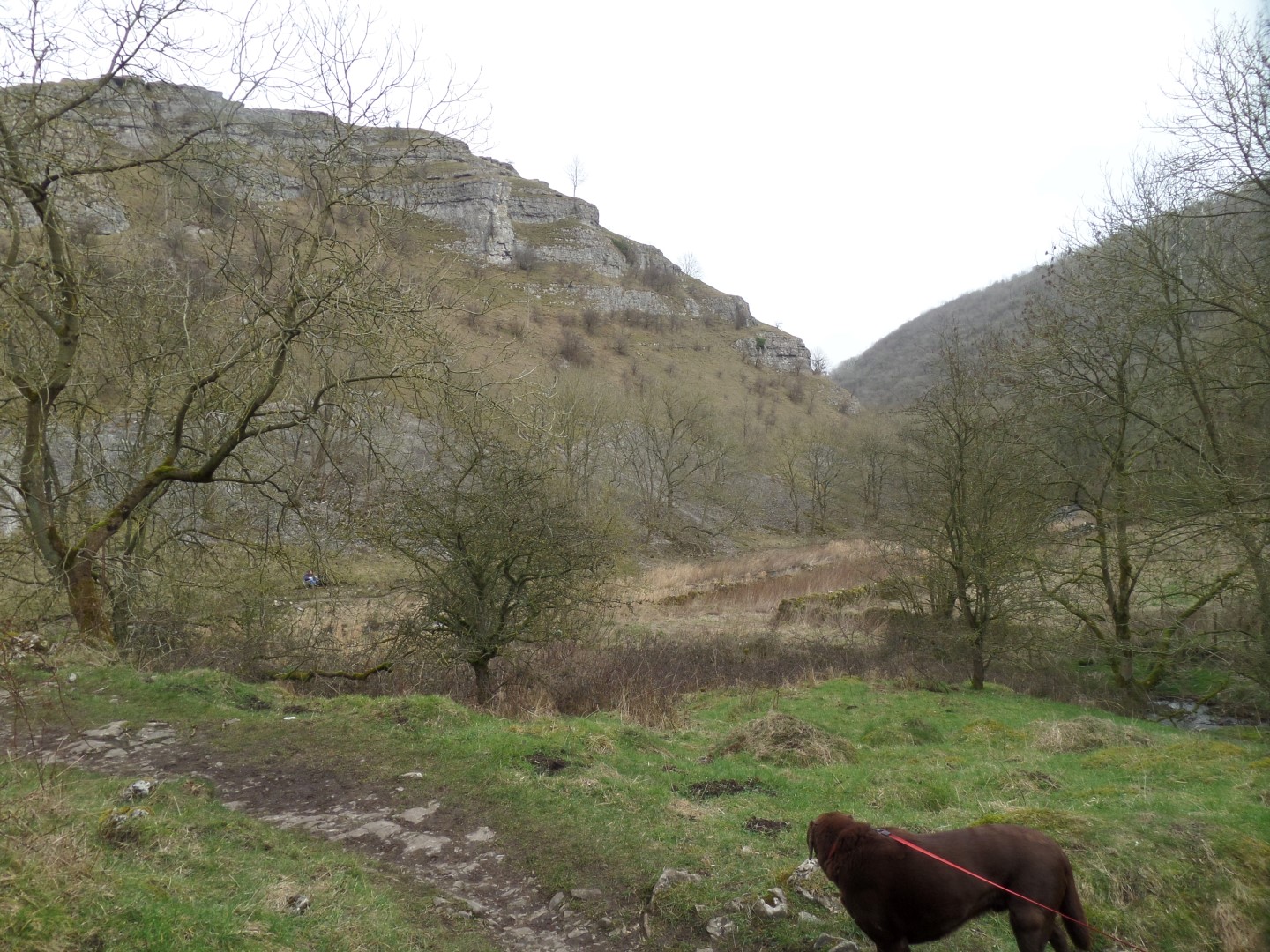
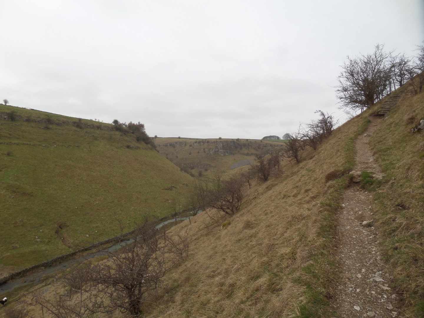
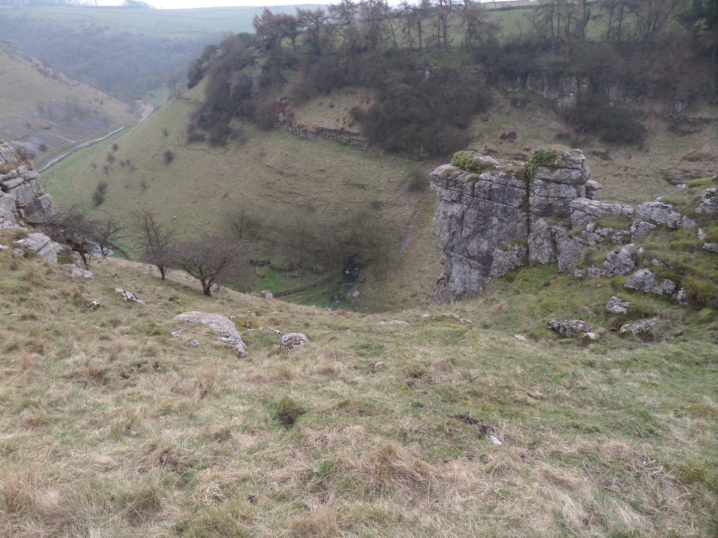
As we entered Lathkill Dale we crossed the Lathkill River by a footbridge and instead of turning along the dale, we simply crossed the valley bottom and then started to ascend the steep path up the other side, until we reached the dale rim, where we stopped for lunch.
After a break we went off piste following a concessionary path staying inside the Dale's boundary wall heading back towards Monyash, making sure we stayed high to avoid the steep drops.
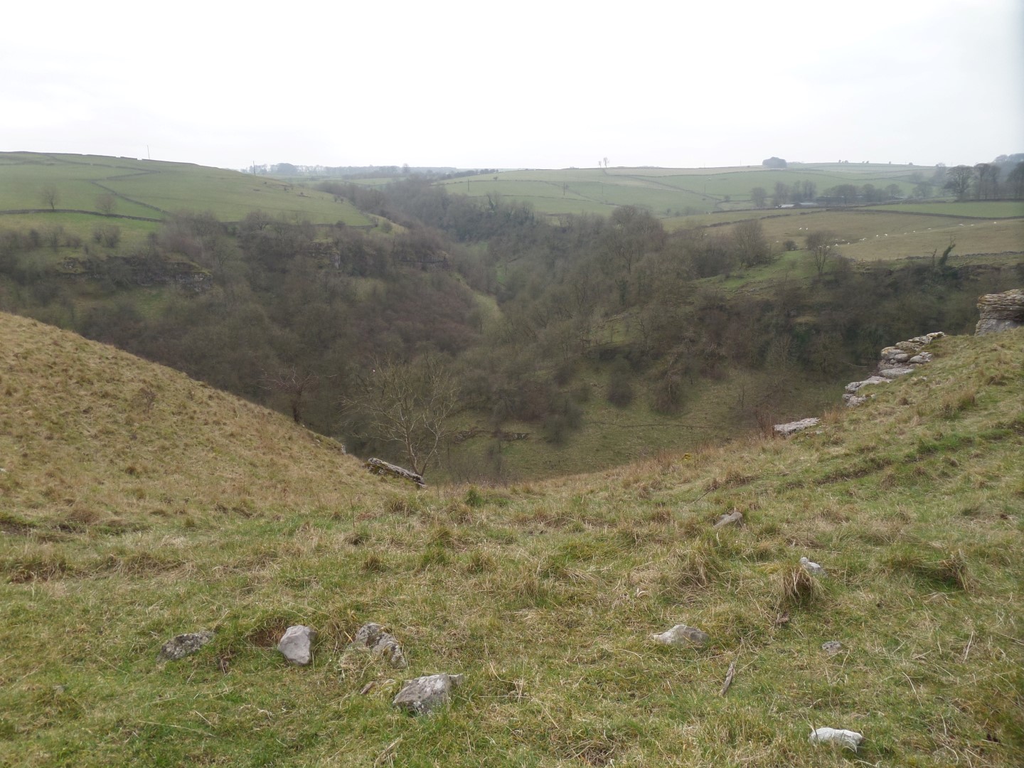
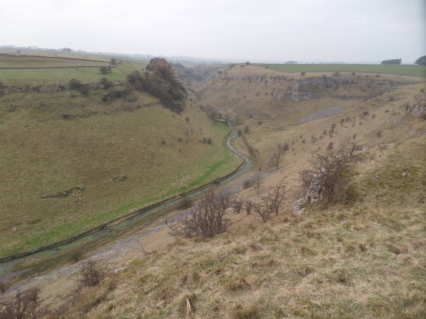
We dropped into Ricklow Dale, and passed the the old limestone quarry of the same name, following the green path waymark signs, before eventually reaching the bottom of Lathkill Dale once more, this time at the bottom (northern) end of Fern Dale.
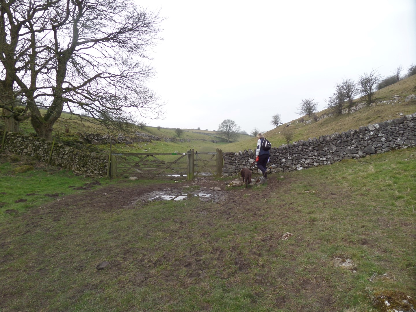
We then followed the Dale path back to the road, and as the footpath through Bagshaw Dale skirting the east and north flanks of Monyash was a flooded bog, we opted to just follow the road back to the car through the village green again.
Date Walked: 12Mar16
Distance: 4.8 miles
Time: 2h38m
Ascent: 904'
Descent: 886'
Hover over photo for description, if available, or click for full size version